St. Joan of Arc's Church, New York City
Map
Facts and practical information
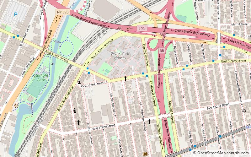
The Church of St. Joan of Arc is a Roman Catholic parish church under the authority of the Roman Catholic Archdiocese of New York, located at 174th Street at Stratford Avenue, The Bronx, New York City. It was established in 1949. ()
Coordinates: 40°50'2"N, 73°52'35"W
Address
East Bronx (Clason Point)New York City
ContactAdd
Social media
Add
Getting there by public transportation
Public transportation stops near this location
- Metro
- Bus
 Metro
Metro
- Calculate routeMorrison Avenue–Soundview 9 min walk
- Calculate routeElder Avenue 11 min walk
- Calculate routeSaint Lawrence Avenue 13 min walk
- Calculate routeWest Farms Square–East Tremont Avenue 13 min walk
- Calculate routeEast Tremont Avenue & Unionport Road 22 min walk
- Calculate routeUnionport Road & East Tremont Avenue 22 min walk
- Calculate routeEast Tremont Avenue & Dogwood Drive 24 min walk
Maps SubwayMaps
 Manhattan Buses
SubwayMapsManhattan BusesDay trips


Frequently Asked Questions (FAQ)
Which popular attractions are close to St. Joan of Arc's Church?
Nearby attractions include Starlight Park, New York City (7 min walk), West Farms, New York City (11 min walk), Chevra Linas Hazedek Synagogue of Harlem and the Bronx, New York City (13 min walk), Concrete Plant Park, New York City (16 min walk).
How to get to St. Joan of Arc's Church by public transport?
The nearest stations to St. Joan of Arc's Church:
Metro
Bus
Metro
- Morrison Avenue–Soundview • Lines: 6 (9 min walk)
- Elder Avenue • Lines: 6 (11 min walk)
Bus
- East Tremont Avenue & Unionport Road • Lines: Bx42 (22 min walk)
- Unionport Road & East Tremont Avenue • Lines: Bx22 (22 min walk)