Lechmere Canal Park, Boston
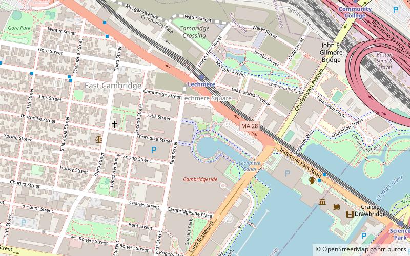
Map
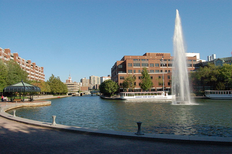
Gallery
Facts and practical information
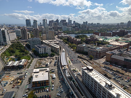
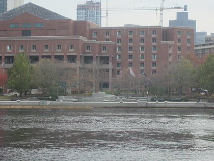
Lechmere Canal is a short canal in East Cambridge, Massachusetts. It opens onto the Charles River and used to be an active port for Boston Harbor and the Atlantic Ocean. ()
Coordinates: 42°22'11"N, 71°4'34"W
Day trips
Lechmere Canal Park – popular in the area (distance from the attraction)
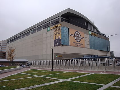
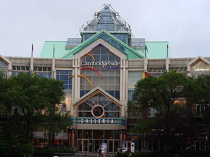
Nearby attractions include: TD Garden, Museum of Science, CambridgeSide, Ether Dome.
Frequently Asked Questions (FAQ)
Which popular attractions are close to Lechmere Canal Park?
Nearby attractions include Lechmere Square, Boston (3 min walk), Building at 42 Edward J. Lopez Avenue, Boston (7 min walk), East Cambridge Historic District, Boston (7 min walk), East Cambridge, Boston (8 min walk).
How to get to Lechmere Canal Park by public transport?
The nearest stations to Lechmere Canal Park:
Metro
Train
Light rail
Bus
Metro
- Community College • Lines: Orange (11 min walk)
- Charles/MGH • Lines: Red (16 min walk)
Train
- Boston North Station (19 min walk)
Light rail
- North Station • Lines: C, E (22 min walk)
- Haymarket • Lines: C, E (27 min walk)
Bus
- Cambridge St @ Carter St • Lines: 91 (23 min walk)
- Washington St @ Inner Belt Rd • Lines: 91 (23 min walk)
 MBTA Subway