Berkeley Hills Tunnel, Oakland

Gallery (1)
Map
Map
Facts and practical information
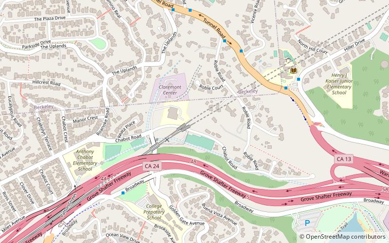
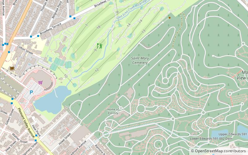
The Berkeley Hills Tunnel is a tunnel which carries Bay Area Rapid Transit Antioch–SFO+Millbrae line through the Berkeley Hills between Rockridge station and Orinda station. ()
Coordinates: 37°51'5"N, 122°14'17"W
Address
North Hills (Upper Rockridge)Oakland
ContactAdd
Social media
Add
Getting there by public transportation
Public transportation stops near this location
- Metro
- Bus
 Metro
Metro
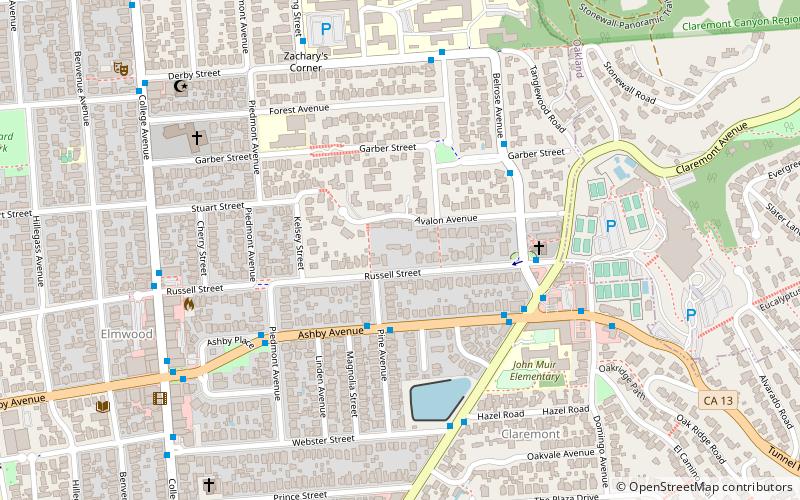
- Calculate routeClaremont Avenue & Hazel Road 15 min walk
- Calculate routeRockridge 22 min walk
Day trips


Frequently Asked Questions (FAQ)
Which popular attractions are close to Berkeley Hills Tunnel?
Nearby attractions include Temescal Regional Recreational Area, Oakland (12 min walk), Lake Temescal, Oakland (13 min walk), St Albert's Priory, Oakland (17 min walk), Rockridge, Oakland (20 min walk).
How to get to Berkeley Hills Tunnel by public transport?
The nearest stations to Berkeley Hills Tunnel:
Bus
Metro
Bus
- Claremont Avenue & Hazel Road • Lines: 79 (15 min walk)
Metro
- Rockridge • Lines: Yellow (22 min walk)