Rockcreek-Lexington Road, Louisville
Map
Facts and practical information
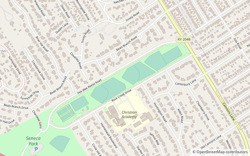
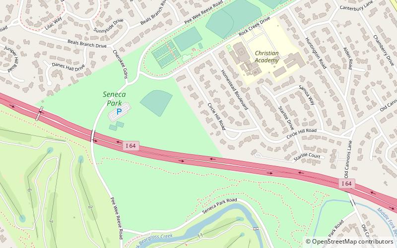
Rockcreek-Lexington Road is an irregular-shaped neighborhood in Louisville, Kentucky, United States. Its boundaries are Seneca Park and Briar Hill Road to the west, Cannons Lane to the east, Interstate 64 to the south, and Lexington Road to the north. Also included are "areas immediately adjoining Shelbyville Rd. from Cannons Ln. to Fairfax Ave. and those along Nanz Ave. from Cannons Ln. to Macon Ave." ()
Coordinates: 38°14'39"N, 85°40'6"W
Address
East Louisville (Rockcreek Lexington Road)Louisville
ContactAdd
Social media
Add
Getting there by public transportation
Public transportation stops near this location
- Bus
 Bus
Bus
- Calculate routeLexington / McCready 10 min walk
Day trips
Rockcreek-Lexington Road – popular in the area (distance from the attraction)
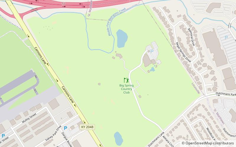
Nearby attractions include: Big Spring Country Club, Crescent Hill Trading Company, Crescent Hill Reservoir, Whitehall House & Gardens.


Frequently Asked Questions (FAQ)
Which popular attractions are close to Rockcreek-Lexington Road?
Nearby attractions include Seneca Park, Louisville (9 min walk), Whitehall House & Gardens, Louisville (13 min walk), Cherokee Gardens, Louisville (13 min walk), Shawnee Park, Louisville (16 min walk).
How to get to Rockcreek-Lexington Road by public transport?
The nearest stations to Rockcreek-Lexington Road:
Bus
Bus
- Lexington / McCready • Lines: 29East Oxmoor, 29West Oxmoor (10 min walk)