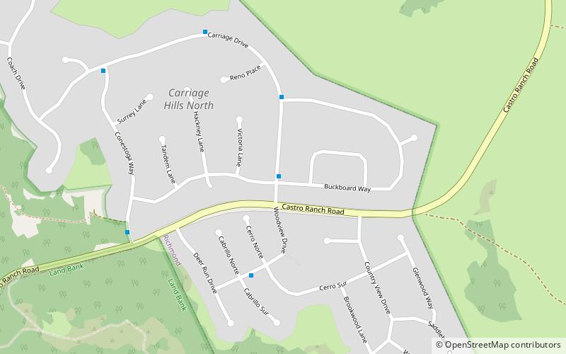
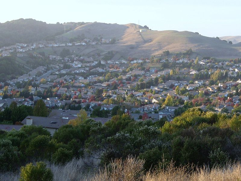
Carriage Hills, Richmond

Gallery (2)
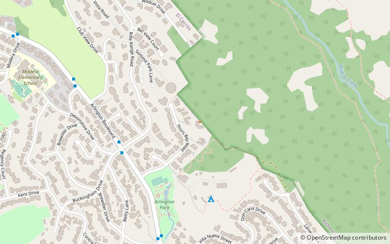
Map
Map
Gallery
Facts and practical information
Carriage Hills, a residential subdivision and the neighborhood is an incorporated integral part of Richmond in the U.S. state of California. ()
Coordinates: 37°57'53"N, 122°15'4"W
Address
Carriage Hills NorthRichmond
ContactAdd
Social media
Add
Getting there by public transportation
Public transportation stops near this location
- Bus
 Bus
Bus
- Calculate routeCastro Ranch Road & Sherwood Forest Drive 33 min walk
- Calculate routeWright Avenue & Doidge Avenue 34 min walk
- Calculate routePinole Valley Road & Simas Avenue 37 min walk
Day trips


Frequently Asked Questions (FAQ)
How to get to Carriage Hills by public transport?
The nearest stations to Carriage Hills:
Bus
Bus
- Castro Ranch Road & Sherwood Forest Drive • Lines: 74 (33 min walk)
- Wright Avenue & Doidge Avenue • Lines: 16 (34 min walk)