Midtown-Edmondson, Baltimore
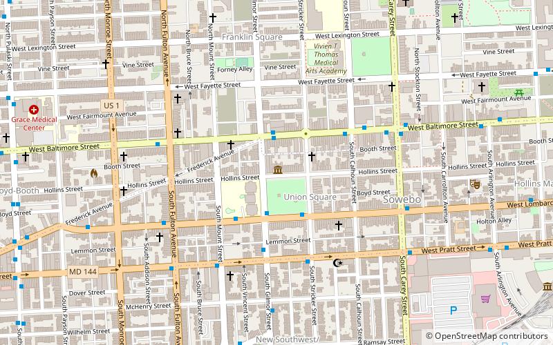
Map

Gallery

Facts and practical information
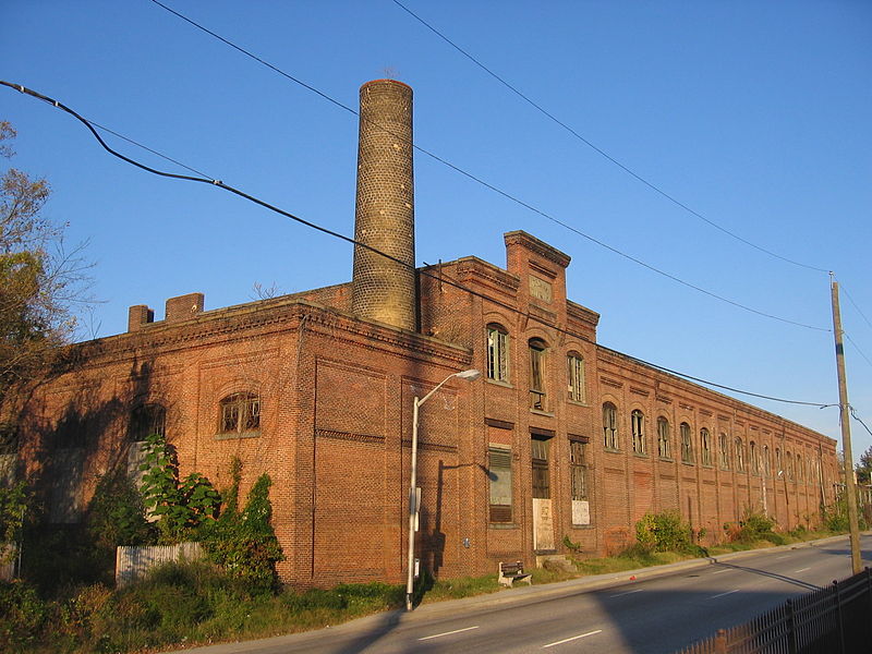
Midtown-Edmondson is a mixed-use neighborhood in western Baltimore City developed mostly between the 1880s and the 1910s. The neighborhood is mainly composed of residential rowhouses, with a mixed-used business district along Edmondson Avenue, and industrial warehouses and buildings dotted along the CSX railroads that bound its western edge. ()
Coordinates: 39°17'47"N, 76°38'59"W
Address
Western Baltimore (Midtown Edmondson)Baltimore
ContactAdd
Social media
Add
Day trips
Midtown-Edmondson – popular in the area (distance from the attraction)
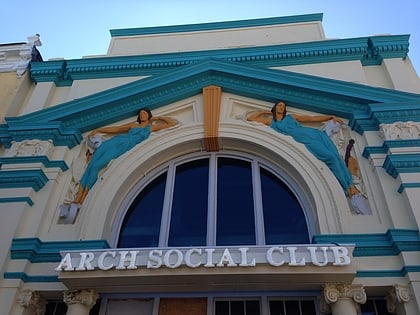
Nearby attractions include: Gwynns Falls Trail, Edgar Allan Poe House and Museum, Baltimore Public Markets, Arch Social Club.
Frequently Asked Questions (FAQ)
Which popular attractions are close to Midtown-Edmondson?
Nearby attractions include Bridgeview/Greenlawn, Baltimore (12 min walk), Franklin Square Historic District, Baltimore (14 min walk), Sandtown-Winchester, Baltimore (17 min walk), Cummins Memorial Church, Baltimore (17 min walk).
How to get to Midtown-Edmondson by public transport?
The nearest stations to Midtown-Edmondson:
Bus
Train
Metro
Bus
- West Baltimore • Lines: 77, 78, Or, Pk (7 min walk)
- North Avenue & Payson Street Eastbound • Lines: Gd (24 min walk)
Train
- West Baltimore (7 min walk)
Metro
- Upton–Avenue Market • Lines: M (24 min walk)
- Penn–North • Lines: M (27 min walk)


