Poplar Level, Louisville
Map
Facts and practical information
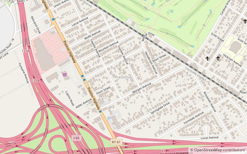
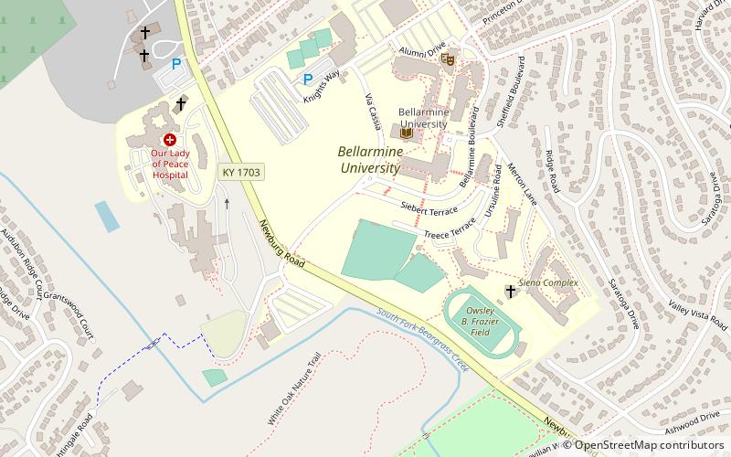
Poplar Level is a neighborhood five miles southeast of downtown Louisville, Kentucky, United States. It is part of the larger Camp Zachary Taylor area. ()
Coordinates: 38°12'27"N, 85°42'31"W
Address
South Side (Poplar Level)Louisville
ContactAdd
Social media
Add
Getting there by public transportation
Public transportation stops near this location
- Bus
 Bus
Bus
- Calculate routePreston / Belmar 37 min walk
- Calculate routeEastern Parkway / Poplar Level 42 min walk
Day trips
Poplar Level – popular in the area (distance from the attraction)
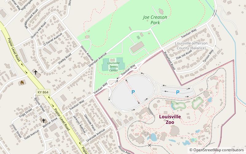
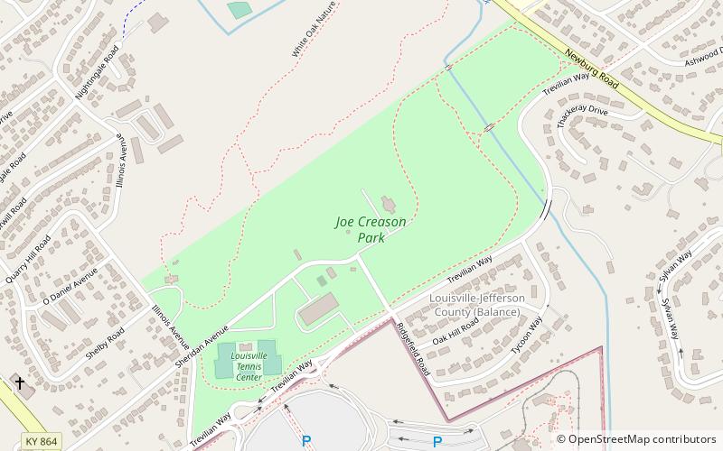
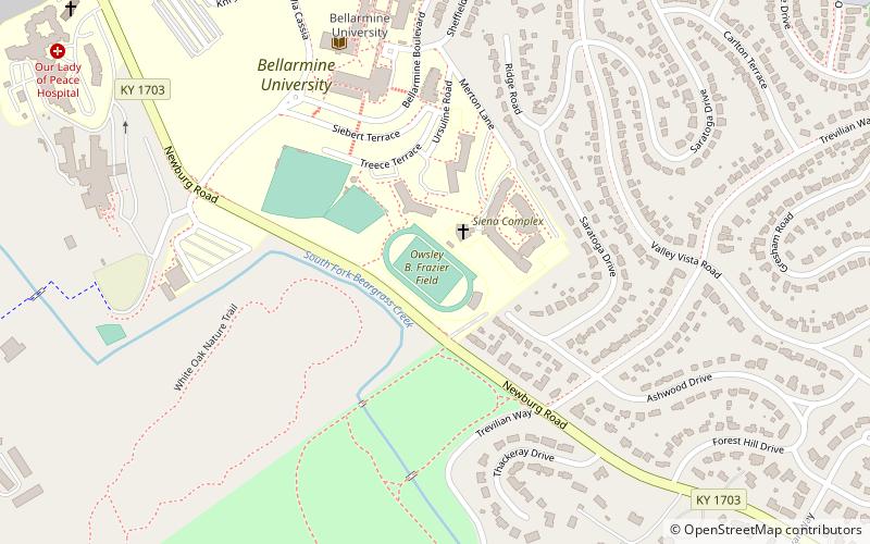
Nearby attractions include: Louisville Zoo, Louisville Mega Cavern, Joe Creason Park, Saint Francis of Assisi Complex.


Frequently Asked Questions (FAQ)
Which popular attractions are close to Poplar Level?
Nearby attractions include Beargrass Creek State Nature Preserve, Louisville (5 min walk), Louisville Zoo, Louisville (6 min walk), Joe Creason Park, Louisville (7 min walk), Louisville Mega Cavern, Louisville (13 min walk).
How to get to Poplar Level by public transport?
The nearest stations to Poplar Level:
Bus
Bus
- Preston / Belmar • Lines: 45XNorthBroadway, 45XNorthMain, 45XSouth (37 min walk)
- Eastern Parkway / Poplar Level • Lines: 29East Bardstown Rd, 29East Oxmoor, 29West Bardstown Rd, 29West Oxmoor (42 min walk)