Loomis Street, Chicago
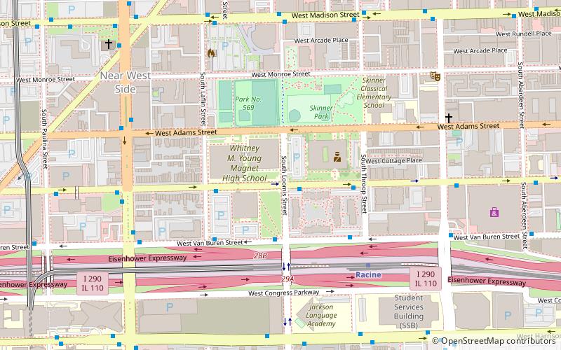
Map
Facts and practical information
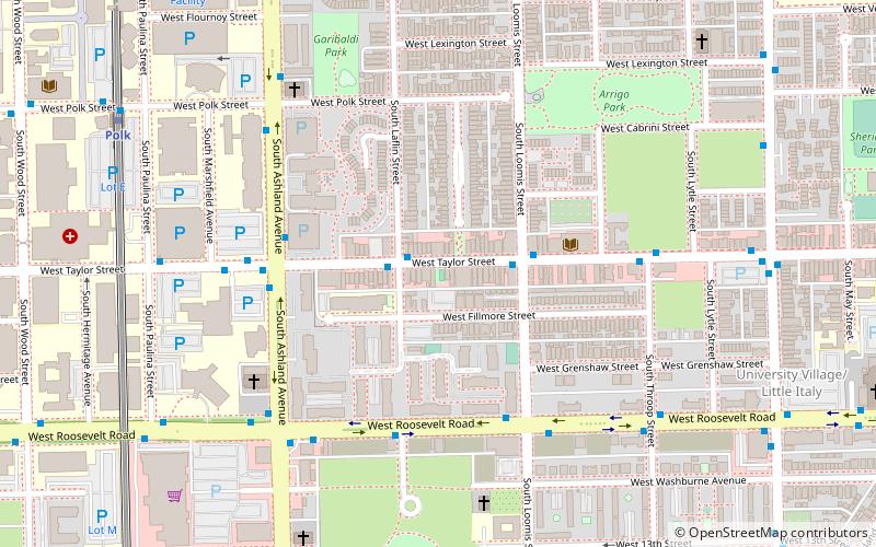
Loomis Street is a north–south street in Chicago that is 1400 W in Chicago's grid system, making it 1.75 miles west of the north–south baseline of State Street. It runs from the Chicago and Northwestern Railway tracks south, with interruptions, to Center Avenue in the suburb of Homewood. Between the railway tracks and the north branch of the Chicago River it is known as Noble Street and north of the River's north branch it is known as Southport Avenue. As Southport Avenue it goes up north to its intersection with Clark Street just south of Berteau. The street continues again at Argyle Street until Touhy Avenue as Glenwood Avenue. ()
Coordinates: 41°52'41"N, 87°39'43"W
Address
West Side (Near West Side)Chicago
ContactAdd
Social media
Add
Getting there by public transportation
Public transportation stops near this location
- Metro
- Bus
- Train
 Metro
Metro
- Calculate routeJackson & Loomis 1 min walk
- Calculate routeVan Buren & Loomis 3 min walk
- Calculate routeRacine 5 min walk
- Calculate routeAshland 15 min walk
- Calculate routeIllinois Medical District 16 min walk
- Calculate routePolk 16 min walk
- Calculate routeOgilvie Transportation Center 30 min walk
- Calculate routeChicago Union Station 31 min walk
Maps Rail "L"
Rail "L"Day trips


Frequently Asked Questions (FAQ)
Which popular attractions are close to Loomis Street?
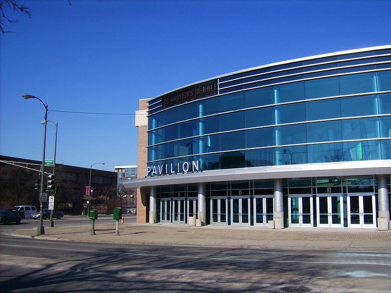
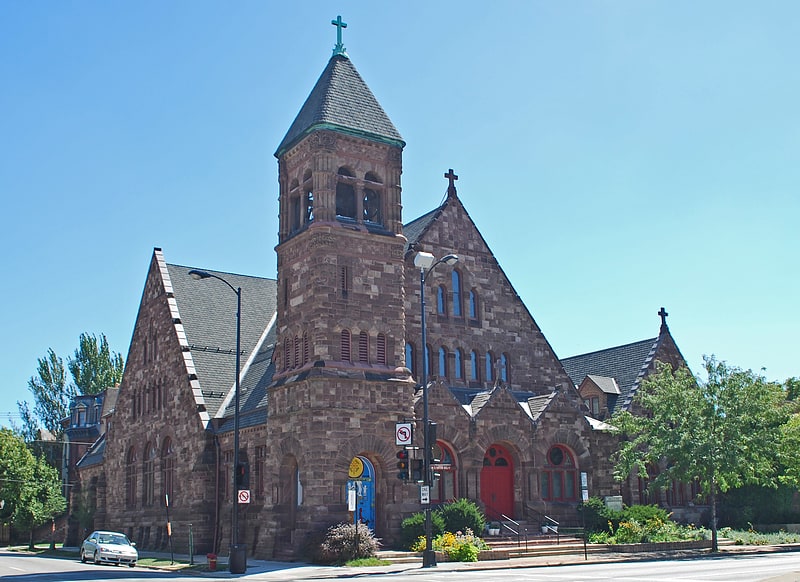
Nearby attractions include Jackson Boulevard District and Extension, Chicago (5 min walk), Church of the Epiphany, Chicago (6 min walk), Notre Dame de Chicago, Chicago (9 min walk), UIC Pavilion, Chicago (10 min walk).
How to get to Loomis Street by public transport?
The nearest stations to Loomis Street:
Bus
Metro
Train
Bus
- Jackson & Loomis • Lines: 126 (1 min walk)
- Van Buren & Loomis • Lines: 126 (3 min walk)
Metro
- Racine • Lines: Blue (5 min walk)
- Ashland • Lines: Green, Pink (15 min walk)
Train
- Ogilvie Transportation Center (30 min walk)
- Chicago Union Station (31 min walk)