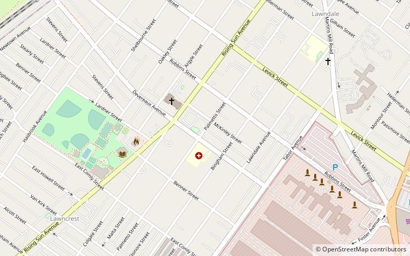
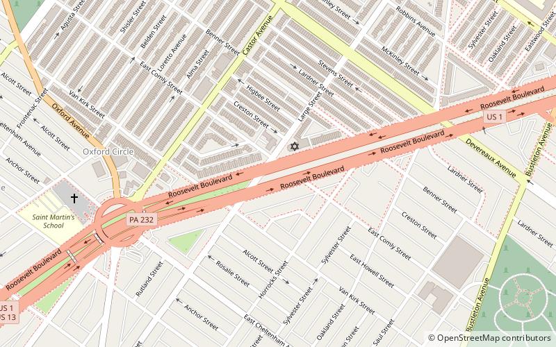
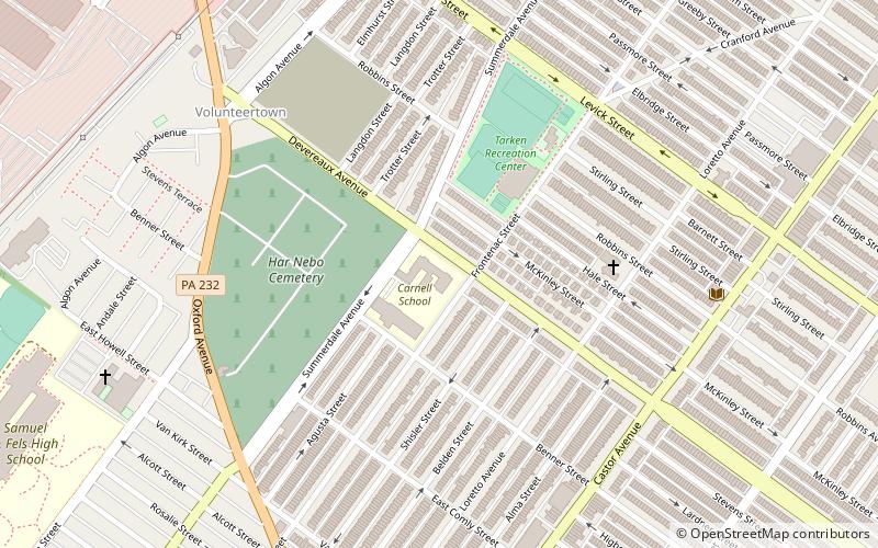
Lawncrest, Philadelphia
Map
Facts and practical information
Lawncrest is a neighborhood in the "Near" Northeast Philadelphia, Pennsylvania. The name is an amalgam of Lawndale and Crescentville, the two primary communities that make up the neighborhood. The Philadelphia Inquirer does not consider Lawncrest to be a neighborhood. ()
Coordinates: 40°2'49"N, 75°5'48"W
Address
Near Northeast Philadelphia (Lawndale)Philadelphia
ContactAdd
Social media
Add
Getting there by public transportation
Public transportation stops near this location
- Train
 Train
Train
- Calculate routeLawndale 12 min walk
- Calculate routeCheltenham 21 min walk
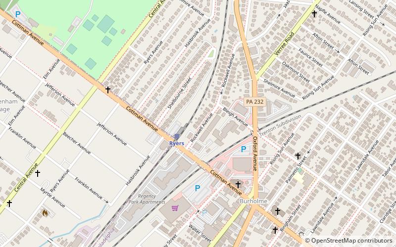
- Calculate routeRyers 33 min walk
Maps SEPTA Regional Rail
SEPTA Regional RailDay trips


Frequently Asked Questions (FAQ)
Which popular attractions are close to Lawncrest?
Nearby attractions include St. William Parish, Philadelphia (3 min walk), Olney-Oak Lane, Philadelphia (6 min walk), Crescentville, Philadelphia (7 min walk), Cedar Grove Christian Academy, Philadelphia (9 min walk).
How to get to Lawncrest by public transport?
The nearest stations to Lawncrest:
Train
Train
- Lawndale (12 min walk)
- Cheltenham (21 min walk)