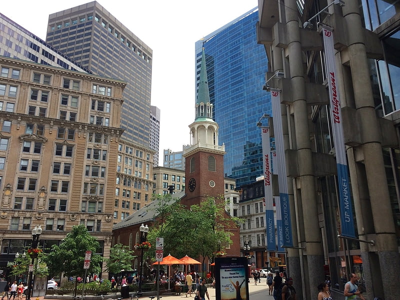
Winthrop Square, Boston
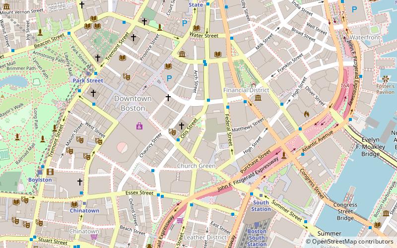
Map
Facts and practical information
Winthrop Center, is an under construction skyscraper in Boston, Massachusetts, United States. When completed, Winthrop Center would stand as the fourth-tallest building in Boston, Massachusetts. The tower is being built on the site of the defunct Winthrop Square Garage in the Financial District. ()
Coordinates: 42°21'17"N, 71°3'28"W
Address
Downtown BostonBoston
ContactAdd
Social media
Add
Getting there by public transportation
Public transportation stops near this location
- Metro
- Bus
- Light rail
- Train
 Metro
Metro
- Calculate routeOtis St @ Summer St 2 min walk
- Calculate routeFederal St @ Franklin St 2 min walk
- Calculate routeLincoln St @ Essex St 5 min walk
- Calculate routeTremont St opp Temple Pl 7 min walk
- Calculate routeDowntown Crossing 4 min walk
- Calculate routeSouth Station 6 min walk
- Calculate routeState 6 min walk
- Calculate routePark Street 8 min walk
- Calculate routeBoston South Station 7 min walk
- Calculate routeBoston North Station 22 min walk
- Calculate routeBoston Back Bay 26 min walk
- Calculate routePark Street 7 min walk
- Calculate routeGovernment Center 9 min walk
- Calculate routeBoylston 10 min walk
- Calculate routeHaymarket 13 min walk
Maps MBTA Subway
MBTA SubwayDay trips


Frequently Asked Questions (FAQ)
Which popular attractions are close to Winthrop Square?
Nearby attractions include St. Anthony Shrine, Boston (1 min walk), Trans National Place, Boston (2 min walk), Summer Street, Boston (2 min walk), Church Green Buildings Historic District, Boston (3 min walk).
How to get to Winthrop Square by public transport?
The nearest stations to Winthrop Square:
Bus
Metro
Train
Light rail
Bus
- Otis St @ Summer St • Lines: 504, 7 (2 min walk)
- Federal St @ Franklin St • Lines: 504 (2 min walk)
Metro
- Downtown Crossing • Lines: Orange, Red (4 min walk)
- South Station • Lines: Red (6 min walk)
Train
- Boston South Station (7 min walk)
- Boston North Station (22 min walk)
Light rail
- Park Street • Lines: B, C, D, E (7 min walk)
- Government Center • Lines: C, D, E (9 min walk)