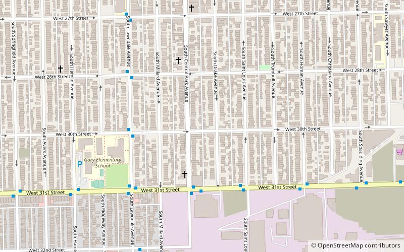
South Lawndale, Chicago

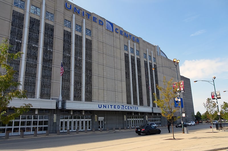
Gallery (1)
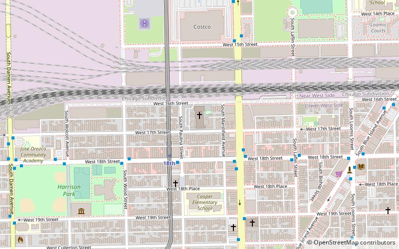
Map
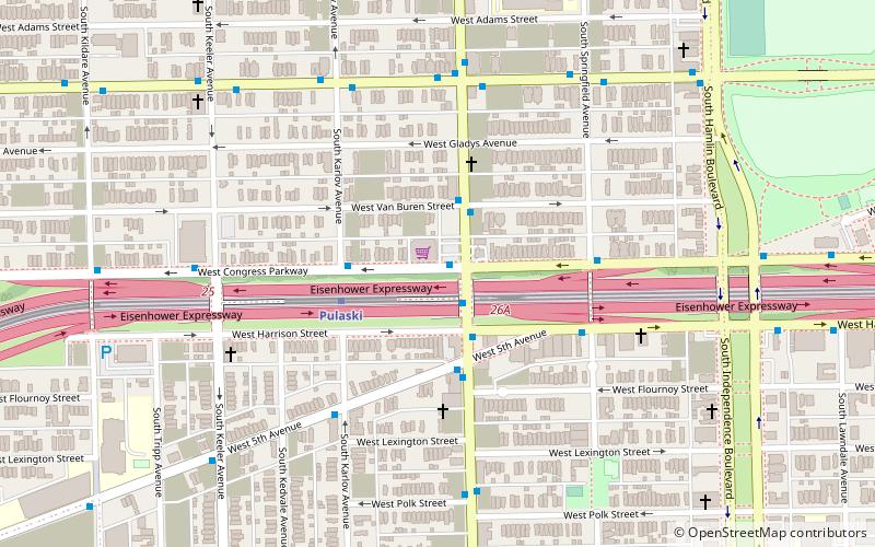
Map
Facts and practical information
South Lawndale is a community area on the West Side of Chicago, Illinois. Over 80% of the residents are of Mexican descent and the community is home to the largest foreign-born Mexican population in Chicago. ()
Area: 4.44 mi²Coordinates: 41°50'21"N, 87°42'51"W
Address
West Side (Little Village)Chicago
ContactAdd
Social media
Add
Getting there by public transportation
Public transportation stops near this location
- Metro
- Bus
 Metro
Metro
- Calculate route31st Street & Central Park 4 min walk
- Calculate routeCentral Park & 31st Street 4 min walk
- Calculate routeLawndale & 30th Street SB 5 min walk
- Calculate routeCentral Park 27 min walk
- Calculate routeKedzie 29 min walk
- Calculate routePulaski 30 min walk
Maps Rail "L"
Rail "L"Day trips


Frequently Asked Questions (FAQ)
How to get to South Lawndale by public transport?
The nearest stations to South Lawndale:
Bus
Metro
Bus
- 31st Street & Central Park • Lines: 35 (4 min walk)
- Central Park & 31st Street • Lines: 82 (4 min walk)
Metro
- Central Park • Lines: Pink (27 min walk)
- Kedzie • Lines: Pink (29 min walk)