Fort Winthrop, Boston
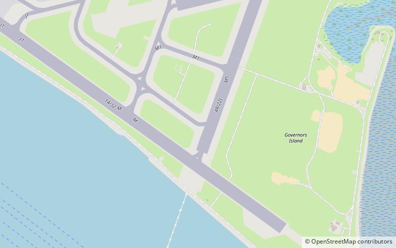
Map
Facts and practical information
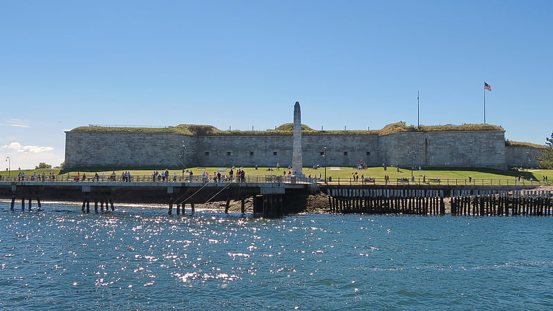
Fort Winthrop, built in 1808 and named Fort Warren until 1834, was a defensive fortification in Boston Harbor named after John Winthrop, an early governor of the Massachusetts Bay Colony. ()
Coordinates: 42°21'7"N, 71°0'43"W
Address
East Boston (Jeffries Point)Boston
ContactAdd
Social media
Add
Getting there by public transportation
Public transportation stops near this location
- Bus
 Bus
Bus
- Calculate routeE 1st St @ P St 32 min walk
- Calculate routeP St @ E 2nd St 33 min walk
- Calculate routeE 1st St @ O St 34 min walk
Maps MBTA Subway
MBTA SubwayDay trips


Frequently Asked Questions (FAQ)
How to get to Fort Winthrop by public transport?
The nearest stations to Fort Winthrop:
Bus
Bus
- E 1st St @ P St • Lines: 9 (32 min walk)
- P St @ E 2nd St • Lines: 7, 9 (33 min walk)