Crescent Hill, Louisville
Map
Gallery
Facts and practical information
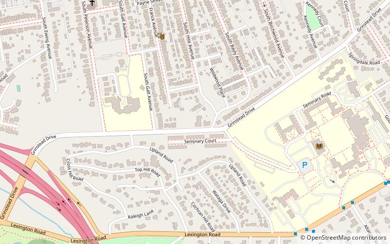
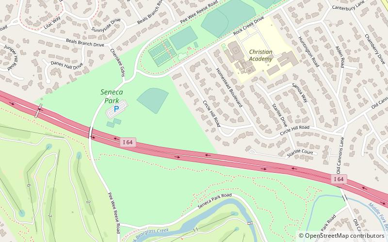
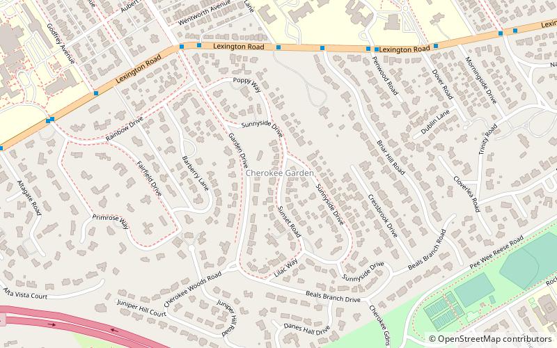
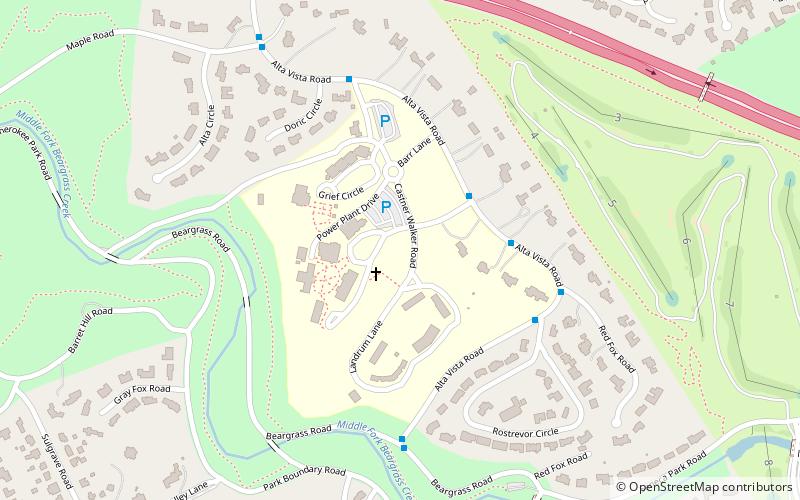
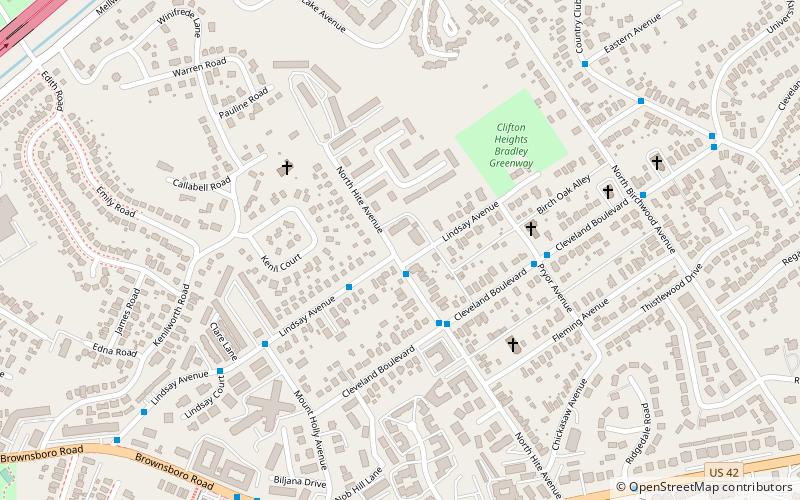
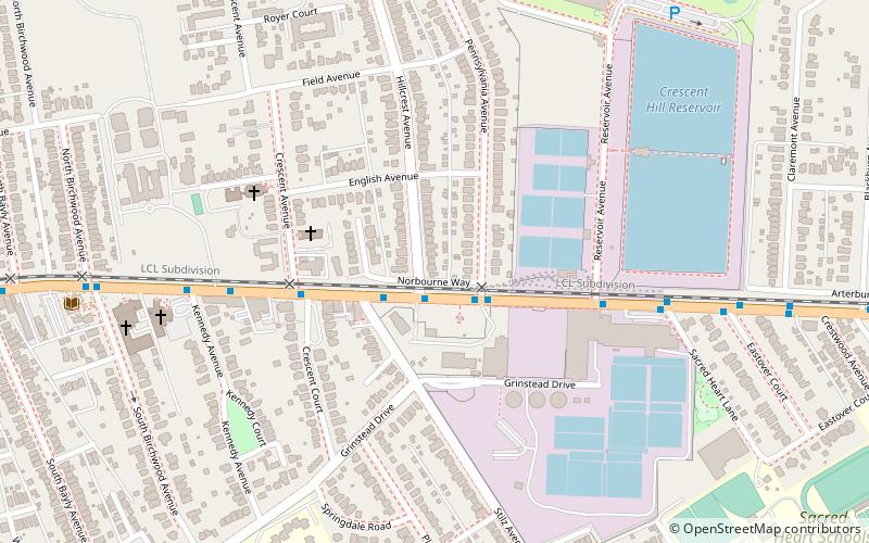
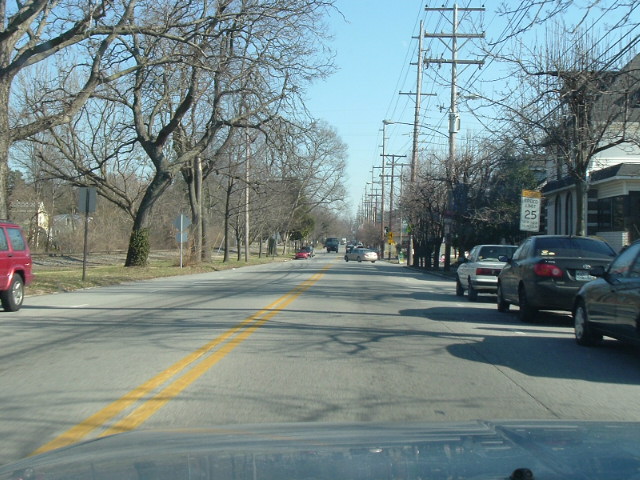
Crescent Hill is a neighborhood four miles east of downtown Louisville, Kentucky USA. This area was originally called "Beargrass" because it sits on a ridge between two forks of Beargrass Creek. The boundaries of Crescent Hill are N Ewing Ave to the St. Matthews city limit by Brownsboro Road to Lexington Road. Frankfort Avenue generally bisects the neighborhood. ()
Coordinates: 38°15'18"N, 85°41'2"W
Address
Central Louisville (Crescent Hill)Louisville
ContactAdd
Social media
Add
Day trips
Crescent Hill – popular in the area (distance from the attraction)
Nearby attractions include: Cherokee Park, Crescent Hill Trading Company, Hogan's Fountain Pavilion, Crescent Hill Reservoir.
Frequently Asked Questions (FAQ)
Which popular attractions are close to Crescent Hill?
Nearby attractions include Crescent Hill Reservoir, Louisville (8 min walk), Crescent Hill Trading Company, Louisville (10 min walk), National Fastpitch Coaches Association Hall of Fame, Louisville (17 min walk), Whitehall House & Gardens, Louisville (18 min walk).
How to get to Crescent Hill by public transport?
The nearest stations to Crescent Hill:
Bus
Bus
- Brownsboro / Hillcrest • Lines: 15East LaGrange, 15East LimeKiln, 15West LaGrange, 15West LimeKiln (11 min walk)
- Brownsboro / Zorn • Lines: 15East Chenoweth&VA, 15East LaGrange, 15East LimeKiln, 15East LimeKiln&VA, 15West Chenoweth&VA, 15West LaGrange, 15West LimeKiln, 15West LimeKiln&VA (11 min walk)


