El Sobrante Hills, Richmond
Map
Facts and practical information
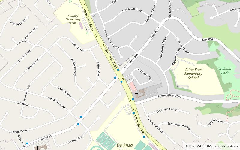
El Sobrante Hills is a bedroom community in the city of Richmond, California. This hilly area, located northeast of the main part of Richmond, was annexed by Richmond in the early 1950s, and was developed into residential housing in the late 1950s and early 1960s. It is bordered by the unincorporated area of El Sobrante, California to the north. The two main roads are Valley View Road and May Road, and its primary non-residential feature is De Anza High School. ()
Coordinates: 37°58'20"N, 122°17'19"W
Address
May ValleyRichmond
ContactAdd
Social media
Add
Getting there by public transportation
Public transportation stops near this location
- Bus
 Bus
Bus
- Calculate routeValley View Road & May Road 1 min walk
- Calculate routeMay Road & Santa Rita Road 7 min walk
Day trips


Frequently Asked Questions (FAQ)
How to get to El Sobrante Hills by public transport?
The nearest stations to El Sobrante Hills:
Bus
Bus
- Valley View Road & May Road • Lines: 74 (1 min walk)
- May Road & Santa Rita Road • Lines: 74 (7 min walk)