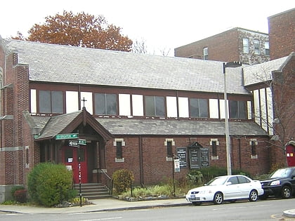
Graffam Development Historic District, Boston
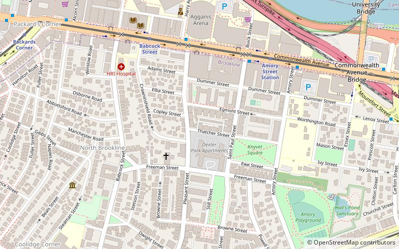

Facts and practical information
The Graffam Development Historic District is a residential area located in the American town of Brookline, Massachusetts. It encompasses the best-preserved portion of a historic residential subdivision, platted and built between 1894 and 1907. The land was purchased by Peter Graffam, who built a variety of Queen Anne and Colonial Revival houses on Babcock Street, Abbottsford Road, Manchester Road, Stedman Street, and Naples Road in Brookline, Massachusetts. Graffam also developed Osborne Street, but most of its houses have since been modified, losing historic integrity. The district was listed on the National Register of Historic Places in 1985. ()
Brookline (Coolidge Corner)Boston
Graffam Development Historic District – popular in the area (distance from the attraction)
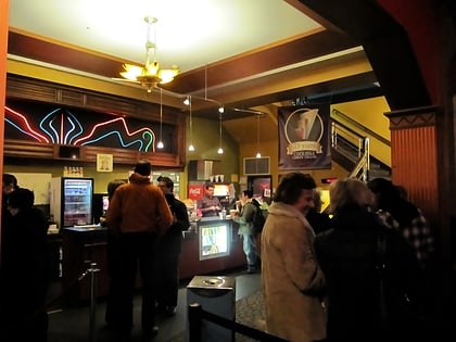
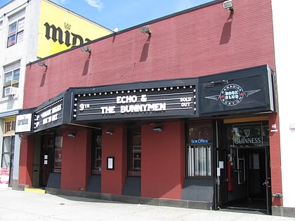
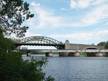
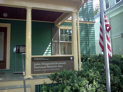
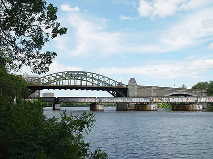
Nearby attractions include: Agganis Arena, Coolidge Corner Theatre, Paradise Rock Club, Boston University Bridge.
Frequently Asked Questions (FAQ)
Which popular attractions are close to Graffam Development Historic District?
How to get to Graffam Development Historic District by public transport?
Bus
- Commonwealth Ave @ Pleasant St • Lines: 57 (5 min walk)
- 1079 Commonwealth Ave • Lines: 57 (10 min walk)
Light rail
- Amory Street • Lines: B (6 min walk)
- Babcock Street • Lines: B (6 min walk)
Train
- Lansdowne (24 min walk)
Metro
- Central Square • Lines: Red (35 min walk)

 MBTA Subway
