Carver Langston, Mount Rainier
Map
Facts and practical information
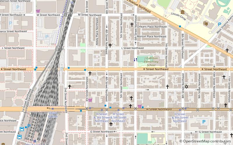
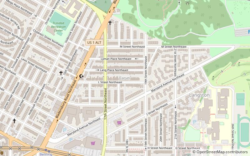
Carver Langston is a cluster of two neighborhoods, Carver and Langston, just south of the United States National Arboretum in Northeast Washington, D.C. The two neighborhoods are most often referred to as one, because they are two small triangular neighborhoods that together form a square of land on the western bank of the Anacostia River. ()
Coordinates: 38°54'14"N, 76°58'39"W
Address
Northeast Washington (Trinidad - Langston)Mount Rainier
ContactAdd
Social media
Add
Day trips
Carver Langston – popular in the area (distance from the attraction)
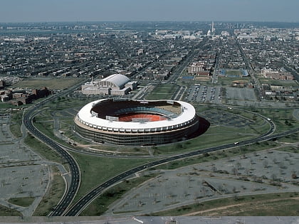
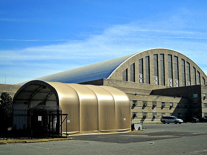
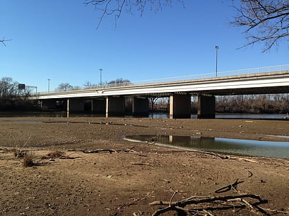
Nearby attractions include: RFK Stadium, D.C. Armory, United States National Arboretum, Whitney Young Memorial Bridge.
Frequently Asked Questions (FAQ)
Which popular attractions are close to Carver Langston?
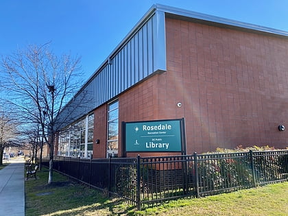
Nearby attractions include Starburst Intersection, Washington D.C. (11 min walk), Rosedale Recreation Center, Washington D.C. (12 min walk), National Grove of State Trees, Mount Rainier (13 min walk), Mount Olivet Cemetery, Washington D.C. (14 min walk).
