Oakmore, Oakland

Map
Facts and practical information
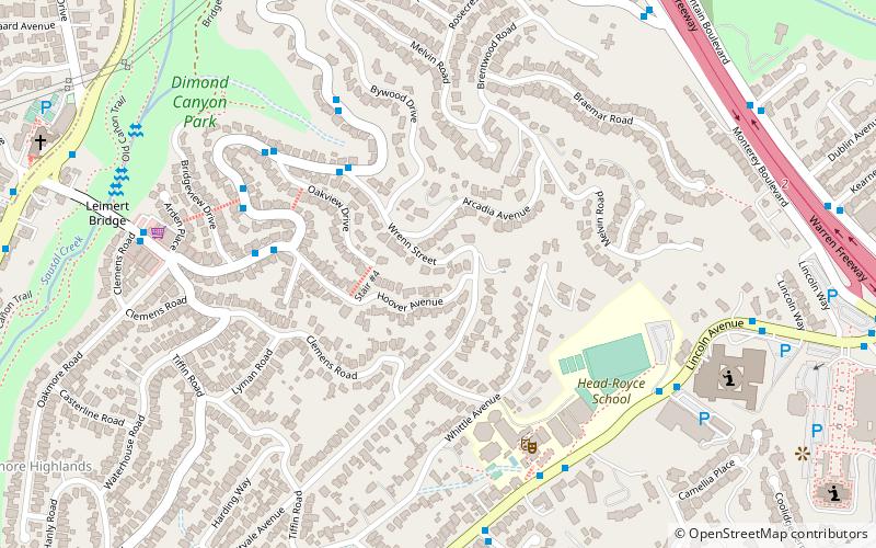
Oakmore is a neighborhood in Oakland, California located east of Park Boulevard and north of Dimond Park. This neighborhood was built in the 1920s and 1930s for people who worked in San Francisco and took the Key Route to work. The Key System was a primary user of the Leimert Bridge, which connects Oakmore to Park Boulevard. ()
Coordinates: 37°48'40"N, 122°12'25"W
Address
North Hills (Oakmore)Oakland
ContactAdd
Social media
Add
Day trips
Oakmore – popular in the area (distance from the attraction)
Nearby attractions include: Oakland California Temple, Joaquin Miller Park, Ascension Greek Orthodox Cathedral of Oakland, Joaquin Miller House.
Frequently Asked Questions (FAQ)
Which popular attractions are close to Oakmore?
Nearby attractions include Ascension Greek Orthodox Cathedral of Oakland, Oakland (9 min walk), Leimert Bridge, Oakland (9 min walk), Oakland California Temple, Oakland (13 min walk), Dimond District, Oakland (17 min walk).
How to get to Oakmore by public transport?
The nearest stations to Oakmore:
Bus
Bus
- Head-Royce School • Lines: 339 (7 min walk)
- 4500 Lincoln Avenue • Lines: 339 (8 min walk)


