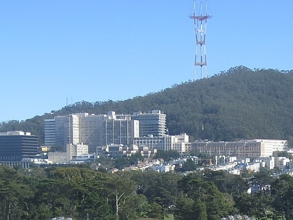
Cole Valley, San Francisco
Map
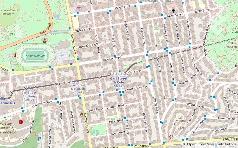
Map

Facts and practical information
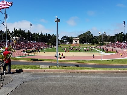
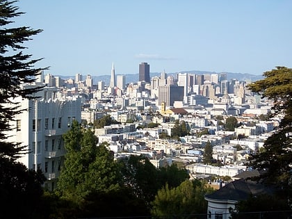
Cole Valley is a small neighborhood in San Francisco, California. It borders Golden Gate Park to the north, Haight-Ashbury to the northeast, The Castro to the east. and Twin Peaks to the south. Near Kezar Stadium, Cole Valley is the smallest neighborhood in the city. ()
Area: 108.16 acres (0.169 mi²)Coordinates: 37°45'57"N, 122°26'60"W
Address
Northwest San Francisco (Cole Valley)San Francisco
ContactAdd
Social media
Add
Day trips
Cole Valley – popular in the area (distance from the attraction)
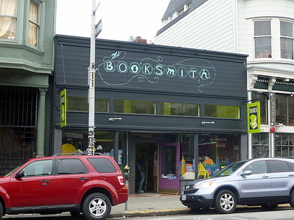
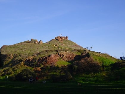
Nearby attractions include: Haight Street, Conservatory of Flowers, Booksmith, Corona Heights Park.
Frequently Asked Questions (FAQ)
Which popular attractions are close to Cole Valley?
Nearby attractions include Mount Olympus, San Francisco (8 min walk), Haight-Ashbury, San Francisco (9 min walk), Haight Street, San Francisco (10 min walk), Corona Heights, San Francisco (11 min walk).
How to get to Cole Valley by public transport?
The nearest stations to Cole Valley:
Train
Bus
Light rail
Trolleybus
Tram
Train
- Carl Street & Cole Street (1 min walk)
- UCSF Parnassus (13 min walk)
Bus
- Cole Street & Carl Street • Lines: 37, 43, N-Owl (1 min walk)
- Carl Street & Cole Street • Lines: N-Owl (1 min walk)
Light rail
- Carl Street & Cole Street • Lines: N (1 min walk)
- Irving Street & Arguello Boulevard • Lines: N (12 min walk)
Trolleybus
- Ashbury Street & Frederick Street • Lines: 33 (6 min walk)
Tram
- 17th Street & Castro Street • Lines: F (22 min walk)
- Market Street & Church Street • Lines: F (30 min walk)

 Muni Metro

