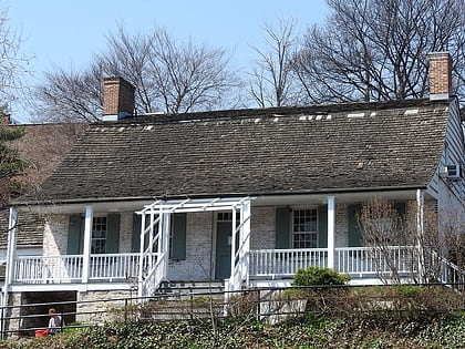
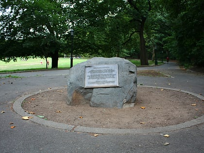
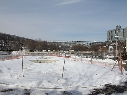
Spuyten Duyvil, New York City
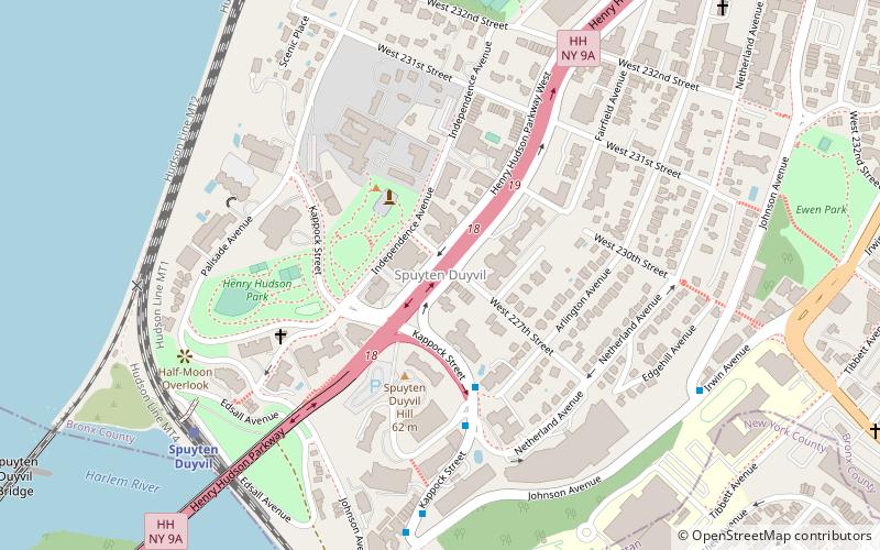
Map
Gallery

Facts and practical information
Spuyten Duyvil is a neighborhood of the Bronx, New York City. It is bounded on the north by Riverdale, on the east by Kingsbridge, on the south by the Harlem River, and on the west by the Hudson River, although some consider it to be the southernmost part of Riverdale. ()
Area: 0.47 mi²Coordinates: 40°52'52"N, 73°55'2"W
Address
West Bronx (Riverdale)New York City
ContactAdd
Social media
Add
Day trips
Spuyten Duyvil – popular in the area (distance from the attraction)
Nearby attractions include: Dyckman Farmhouse Museum, Wave Hill, Inwood Hill Park, Muscota Marsh.
Frequently Asked Questions (FAQ)
Which popular attractions are close to Spuyten Duyvil?
Nearby attractions include Henry Hudson Park, New York City (3 min walk), Edgehill Church of Spuyten Duyvil, New York City (5 min walk), Henry Hudson Bridge, New York City (9 min walk), Spuyten Duyvil Bridge, New York City (13 min walk).
How to get to Spuyten Duyvil by public transport?
The nearest stations to Spuyten Duyvil:
Train
Metro
Train
- Spuyten Duyvil (8 min walk)
- Marble Hill (13 min walk)
Metro
- Marble Hill–225th Street • Lines: 1 (16 min walk)
- 231st Street • Lines: 1 (18 min walk)

 Subway
 Manhattan Buses