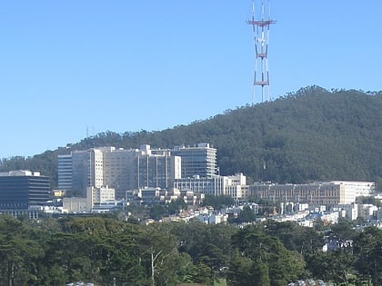
Corona Heights, San Francisco
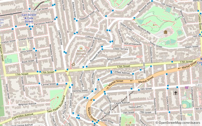
Map
Facts and practical information
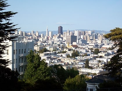
Corona Heights is a neighborhood in San Francisco, California, just north of Market Street and Eureka Valley. Corona Heights is often considered part of the Castro and Upper Market areas. ()
Area: 140.8 acres (0.22 mi²)Coordinates: 37°45'44"N, 122°26'38"W
Address
Northwest San Francisco (Buena Vista)San Francisco
ContactAdd
Social media
Add
Day trips
Corona Heights – popular in the area (distance from the attraction)
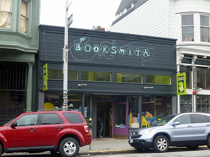
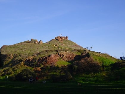
Nearby attractions include: Haight Street, GLBT History Museum, Booksmith, Corona Heights Park.
Frequently Asked Questions (FAQ)
Which popular attractions are close to Corona Heights?
Nearby attractions include Mount Olympus, San Francisco (4 min walk), Tank Hill, San Francisco (8 min walk), Friends of Kite Hill Open Space, San Francisco (8 min walk), Alfred E. Clarke Mansion, San Francisco (8 min walk).
How to get to Corona Heights by public transport?
The nearest stations to Corona Heights:
Bus
Trolleybus
Light rail
Train
Tram
Bus
- 211 Corbett Avenue • Lines: 37 (2 min walk)
- Corbett Avenue & Danvers Street • Lines: 37 (2 min walk)
Trolleybus
- 18th Street & Danvers Street • Lines: 33 (4 min walk)
- Clayton Street & Carmel Street • Lines: 33 (5 min walk)
Light rail
- Carl Street & Cole Street • Lines: N (11 min walk)
- Castro • Lines: K, S, T (13 min walk)
Train
- Carl Street & Cole Street (11 min walk)
- UCSF Parnassus (21 min walk)
Tram
- 17th Street & Castro Street • Lines: F (13 min walk)
- Market Street & Church Street • Lines: F (23 min walk)
 Muni Metro

