Saint John Vianney Roman Catholic Church, New York City
Map
Facts and practical information
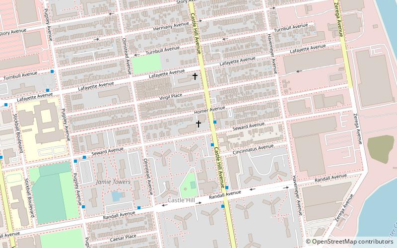
St. John Vianney Cure of Ars Church is located on the corner of Castle Hill avenue and Homer avenue in the Bronx. The parish was established circa 1961. ()
Coordinates: 40°49'17"N, 73°50'57"W
Address
East Bronx (Castle Hill)New York City
ContactAdd
Social media
Add
Getting there by public transportation
Public transportation stops near this location
- Metro
 Metro
Metro
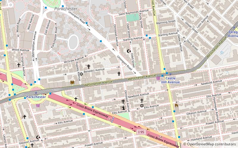
- Calculate routeCastle Hill Avenue 23 min walk
- Calculate routeParkchester 27 min walk
- Calculate routeZerega Avenue 27 min walk
Maps SubwayMaps
 Manhattan Buses
SubwayMapsManhattan BusesDay trips


Frequently Asked Questions (FAQ)
How to get to Saint John Vianney Roman Catholic Church by public transport?
The nearest stations to Saint John Vianney Roman Catholic Church:
Metro
Metro
- Castle Hill Avenue • Lines: <6>, 6 (23 min walk)
- Parkchester • Lines: <6>, 6 (27 min walk)