Saint Raymond's Cemetery, New York City
Map
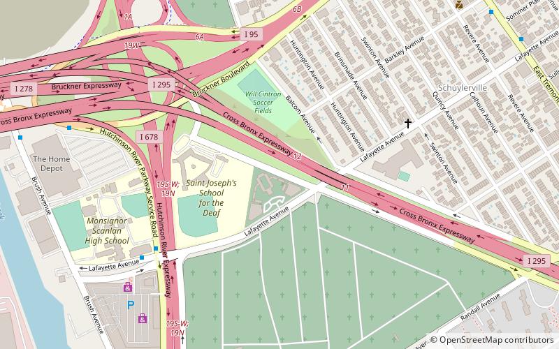
Map

Facts and practical information
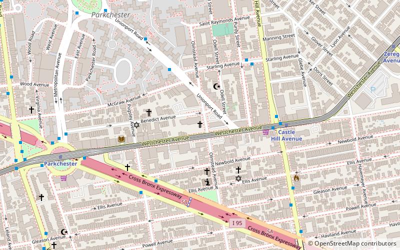
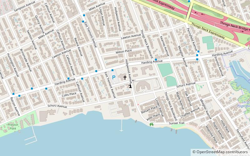
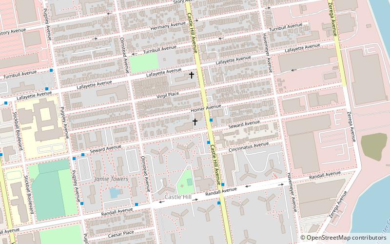
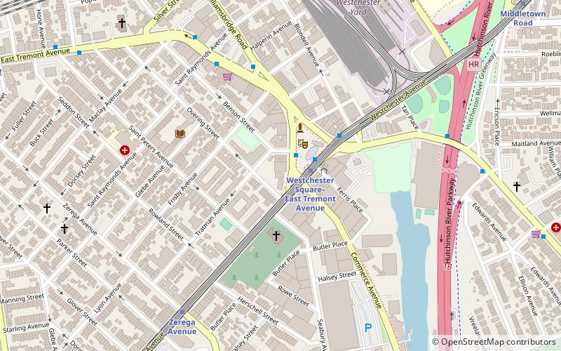
Saint Raymond's Cemetery is a Roman Catholic cemetery at 2600 Lafayette Avenue in the Throggs Neck and Schuylerville sections of the Bronx, New York City, United States. The cemetery is composed of two separate locations: the older section, and the newer section, both east of the Hutchinson River Parkway. The Bronx–Whitestone Bridge is located adjacent to the cemetery's newer section, while the neighboring Throgs Neck Bridge can be seen from a distance. ()
Coordinates: 40°49'37"N, 73°49'58"W
Address
2600 Lafayette AvenueEast Bronx (Throgs Neck)New York City
Contact
+1 718-792-1133
Social media
Add
Day trips
Saint Raymond's Cemetery – popular in the area (distance from the attraction)
Nearby attractions include: Ferry Point Park, St. Raymond's Church, St. Helena's Church, Bruckner Interchange.
Frequently Asked Questions (FAQ)
How to get to Saint Raymond's Cemetery by public transport?
The nearest stations to Saint Raymond's Cemetery:
Bus
Metro
Bus
- Randall Avenue & East Tremont Avenue • Lines: Bx42 (15 min walk)
Metro
- Zerega Avenue • Lines: <6>, 6 (26 min walk)
- Westchester Square–East Tremont Avenue • Lines: <6>, 6 (27 min walk)

 Subway
 Manhattan Buses

