Waverly Hills, Louisville
Map
Facts and practical information
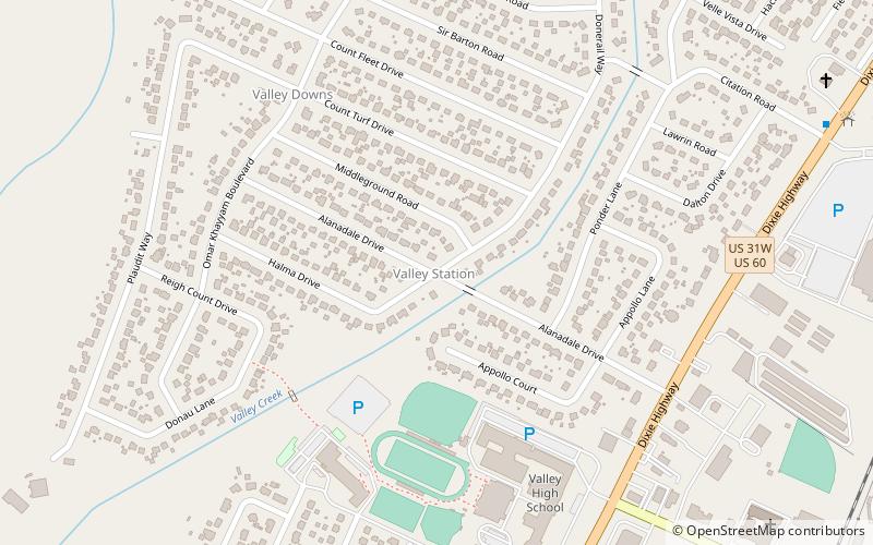
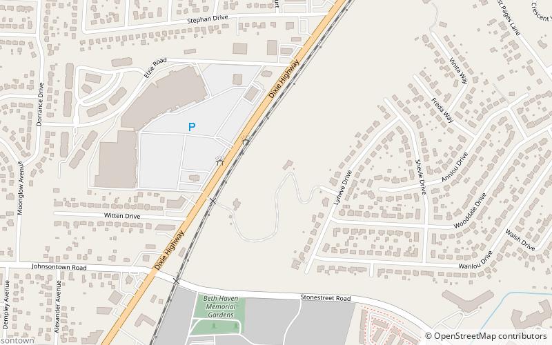
Waverly Hills is a neighborhood in Southwestern Louisville, Kentucky which is centered at Dixie Highway and Pages Lane. It is located in a hilly section of the city, which is part of the larger Knobs Region which extends into southeastern Kentucky. Its boundaries are roughly Stonestreet Road and 3rd Street Road to the south, Dixie Highway to the west, St Andrews Church Road to the north, and Auburndale to the east. ()
Coordinates: 38°7'25"N, 85°51'7"W
Address
West Louisville (Valley Station)Louisville
ContactAdd
Social media
Add
Day trips
Waverly Hills – popular in the area (distance from the attraction)
Nearby attractions include: Iroquois Park, Little Loomhouse, Caesars Southern Indiana, Colonial Gardens.
Frequently Asked Questions (FAQ)
How to get to Waverly Hills by public transport?
The nearest stations to Waverly Hills:
Bus
Bus
- Daffodil / Morning Glory • Lines: 63South, 63South-alt (24 min walk)
- Morning Glory / Daffodil • Lines: 63North, 63North-alt (25 min walk)


