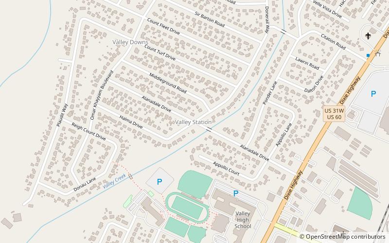
Valley Station, Louisville
Map
Facts and practical information
Valley Station is a former census-designated place in southwest Jefferson County, Kentucky, United States. The population was 22,946 at the 2000 census. When the government of Jefferson County merged with the city of Louisville, Kentucky in 2003, residents of Valley Station also became citizens of Louisville Metro. As a result, Valley Station is said to be a neighborhood within the city limits of Louisville by local media. It was named for its location in the valley between Muldraugh Hill and the Knobs. ()
Address
West Louisville (Valley Station)Louisville
ContactAdd
Social media
Add
Getting there by public transportation
Public transportation stops near this location
- Bus
 Bus
Bus
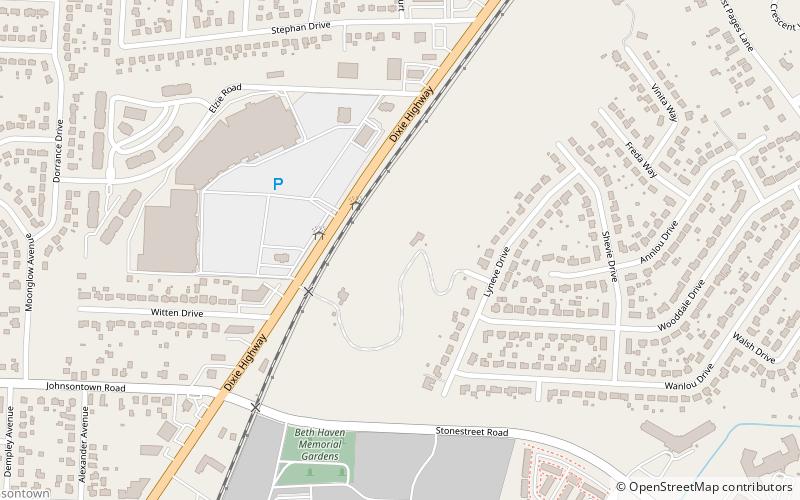
- Calculate routeDixie Garden Dr @ Dixie Hwy 22 min walk
Day trips


Frequently Asked Questions (FAQ)
How to get to Valley Station by public transport?
The nearest stations to Valley Station:
Bus
Bus
- Dixie Garden Dr @ Dixie Hwy • Lines: 10 (22 min walk)