York Avenue and Sutton Place, New York City

Gallery (8)
Map


Map

Gallery
Facts and practical information
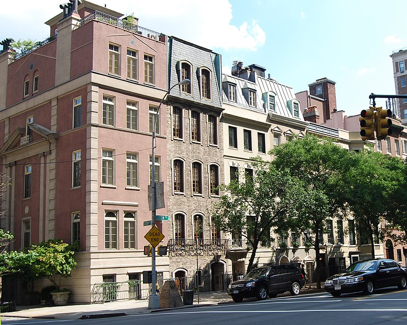
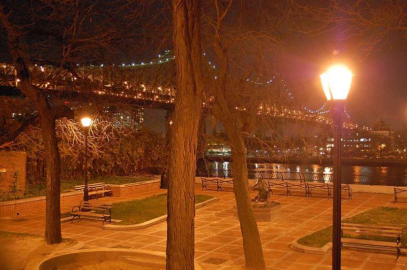
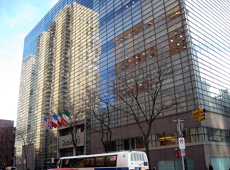
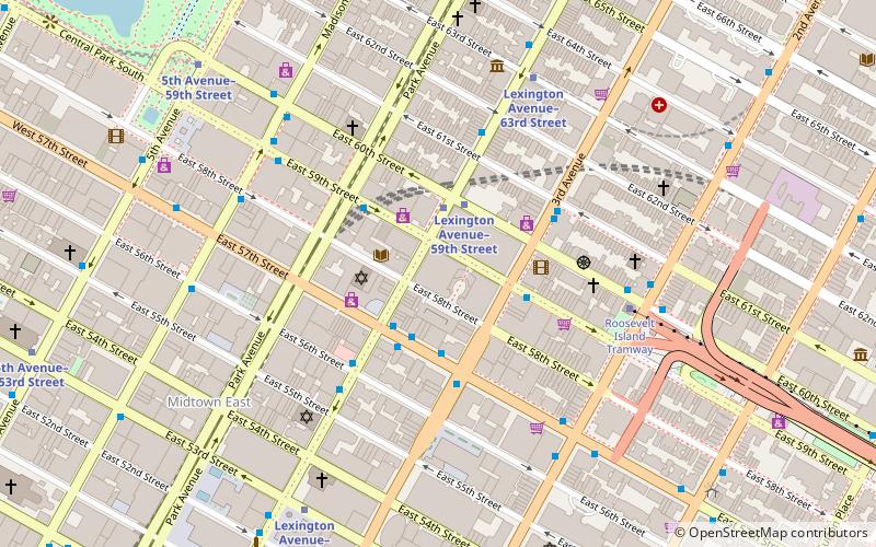
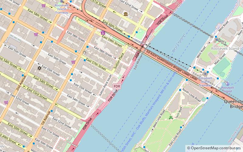
York Avenue and Sutton Place are the names of a relatively short north-south thoroughfare in the Yorkville, Lenox Hill, and Sutton Place neighborhoods of the East Side of Manhattan, in New York City. York Avenue runs from 59th to 92nd Streets through eastern Lenox Hill and Yorkville on the Upper East Side. Sutton Place and its southern extension runs through their namesake neighborhood along the East River and south of the Queensboro Bridge, with Sutton Place South running from 53rd to 57th Streets and Sutton Place from 57th to 59th Streets. The street is considered among the city's most affluent, and both portions are known for upscale apartments, much like the rest of the Upper East Side. ()
Address
Midtown Manhattan (Midtown East)New York City
ContactAdd
Social media
Add
Getting there by public transportation
Public transportation stops near this location
- Metro
- Bus
- Train
 Metro
Metro
- Calculate routeEast 60th Street & York Avenue 3 min walk
- Calculate route1 Av/E 57 St 4 min walk
- Calculate routeYork Avenue & East 60th Street 4 min walk
- Calculate route2 Av/E 57 St 8 min walk
- Calculate routeRoosevelt Island 11 min walk
- Calculate routeLexington Avenue–59th Street 13 min walk
- Calculate route53rd Street–Lexington Avenue 13 min walk
- Calculate routeGrand Central Terminal 25 min walk
- Calculate routeLong Island City 30 min walk
- Calculate routeHunterspoint Avenue 33 min walk
Maps SubwayMaps
 Manhattan Buses
SubwayMapsManhattan BusesDay trips


Frequently Asked Questions (FAQ)
Which popular attractions are close to York Avenue and Sutton Place?
Nearby attractions include Sutton Place Park, New York City (2 min walk), Roosevelt Island Tramway, New York City (3 min walk), Zabriskie Gallery, New York City (4 min walk), Mount Vernon Hotel Museum, New York City (5 min walk).
How to get to York Avenue and Sutton Place by public transport?
The nearest stations to York Avenue and Sutton Place:
Bus
Metro
Train
Bus
- East 60th Street & York Avenue • Lines: M57 (3 min walk)
- 1 Av/E 57 St • Lines: M15, M15-Sbs (4 min walk)
Metro
- Roosevelt Island • Lines: <F>, F (11 min walk)
- Lexington Avenue–59th Street • Lines: N, R, W (13 min walk)
Train
- Grand Central Terminal (25 min walk)
- Long Island City (30 min walk)