Saddle Club Footbridge, Washington D.C.
Map
Facts and practical information
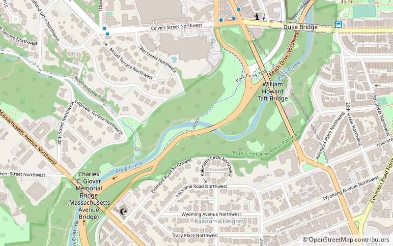
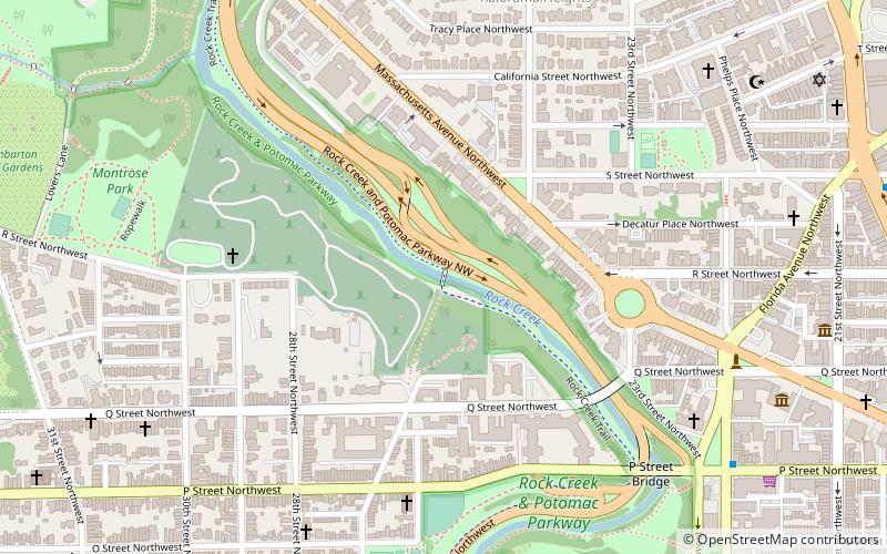
The Saddle Club Footbridge is a pedestrian bridge over Rock Creek in Washington, D.C. completed in 1934. It is one of eight such pedestrian bridges completed during the Great Depression. It has square-cut ashlar stone abutments, a concrete arch deck, and wooden railings. The bridge cost $3,830 to construct. ()
Coordinates: 38°55'12"N, 77°3'12"W
Address
Northwest Washington (Rock Creek and Potomac Parkway)Washington D.C.
ContactAdd
Social media
Add
Getting there by public transportation
Public transportation stops near this location
- Metro
- Bus
 Metro
Metro
- Calculate routeWoodley Park 9 min walk
- Calculate routeDupont Circle 23 min walk
- Calculate routeBus Loading 21 min walk
Day trips


Frequently Asked Questions (FAQ)
Which popular attractions are close to Saddle Club Footbridge?
Nearby attractions include Shoreham Hill Bridge, Washington D.C. (1 min walk), The Lindens, Washington D.C. (4 min walk), Taft Bridge, Washington D.C. (5 min walk), Kalorama, Washington D.C. (6 min walk).
How to get to Saddle Club Footbridge by public transport?
The nearest stations to Saddle Club Footbridge:
Metro
Bus
Metro
- Woodley Park • Lines: Rd (9 min walk)
- Dupont Circle • Lines: Rd (23 min walk)
Bus
- Bus Loading (21 min walk)