St. Anthony West, Minneapolis
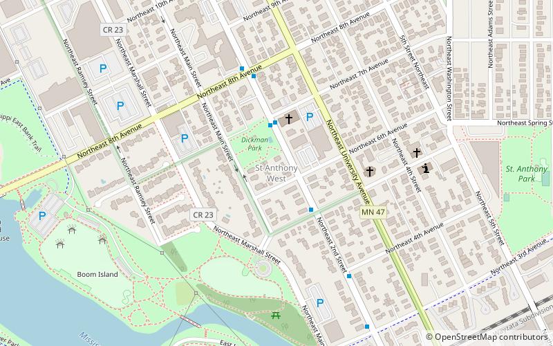
Map
Facts and practical information
Saint Anthony West is a neighborhood in the Northeast community of Minneapolis, Minnesota ()
Area: 0.55 mi²Coordinates: 44°59'38"N, 93°15'46"W
Address
Northeast Minneapolis (St. Anthony West)Minneapolis
ContactAdd
Social media
Add
Getting there by public transportation
Public transportation stops near this location
- Bus
- Light rail
- Train
 Bus
Bus
- Calculate route2 St Ne 11 min walk
- Calculate route4 St Ne 12 min walk
- Calculate route5 St Ne 13 min walk
- Calculate routeDe Lasalle Dr 14 min walk
- Calculate routeTarget Field 26 min walk
- Calculate routeTarget Field 27 min walk
- Calculate routeWarehouse District/Hennepin Avenue 28 min walk
- Calculate routeNicollet Mall 29 min walk
Day trips


Frequently Asked Questions (FAQ)
Which popular attractions are close to St. Anthony West?
Nearby attractions include Minneapolis BNSF Rail Bridge, Minneapolis (12 min walk), Nicollet Island, Minneapolis (12 min walk), Pierre Bottineau Library, Minneapolis (13 min walk), St. Anthony East, Minneapolis (14 min walk).
How to get to St. Anthony West by public transport?
The nearest stations to St. Anthony West:
Bus
Train
Light rail
Bus
- 2 St Ne • Lines: 4, 4A, 4L, 4P (11 min walk)
- 4 St Ne • Lines: 4, 4A, 4L, 4P (12 min walk)
Train
- Target Field (26 min walk)
Light rail
- Target Field • Lines: 901, 902 (27 min walk)
- Warehouse District/Hennepin Avenue • Lines: 901, 902 (28 min walk)