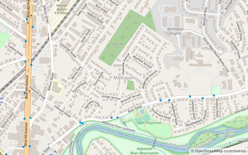
Mattapan, Boston

Gallery (3)
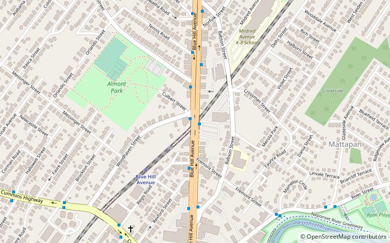
Map
Map
Gallery
Facts and practical information
Mattapan is a neighborhood in Boston, Massachusetts. Historically a section of neighboring Dorchester, Mattapan became a part of Boston when Dorchester was annexed in 1870. Mattapan is the original Native American name for the Dorchester area, possibly meaning "a place to sit." As of the 2010 census, it had a population of 36,480, with the majority of its population immigrants. ()
Address
Greater Mattapan (Southern Mattapan)Boston
ContactAdd
Social media
Add
Getting there by public transportation
Public transportation stops near this location
- Bus
- Light rail
- Train
 Bus
Bus
- Calculate routeCapen Street 9 min walk
- Calculate routeValley Road 11 min walk
- Calculate routeMattapan 12 min walk
- Calculate routeCentral Avenue 19 min walk
- Calculate routeMorton Street 15 min walk
- Calculate routeCentral Ave opp Griggs Ln 17 min walk
- Calculate routeCentral Ave @ Griggs Ln 17 min walk
- Calculate routeCentral Ave @ Valley Rd 18 min walk
Maps MBTA Subway
MBTA SubwayDay trips


Frequently Asked Questions (FAQ)
Which popular attractions are close to Mattapan?
Nearby attractions include Boston Consumptives Hospital, Boston (7 min walk), Jubilee Christian Church, Boston (9 min walk), Lower Mills, Boston (24 min walk).
How to get to Mattapan by public transport?
The nearest stations to Mattapan:
Light rail
Train
Bus
Light rail
- Capen Street • Lines: M (9 min walk)
- Valley Road • Lines: M (11 min walk)
Train
- Morton Street (15 min walk)
Bus
- Central Ave opp Griggs Ln • Lines: 240 outbound, 240-1 outbound, 240-9 outbound (17 min walk)
- Central Ave @ Griggs Ln • Lines: 240, 240 inbound, 240-1 inbound, 240-9 inbound (17 min walk)