Woodland Terrace, Philadelphia

Map
Facts and practical information
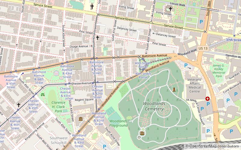
Woodland Terrace is a street name and a small neighborhood of Italianate twin mansions in the West Philadelphia section of Philadelphia, Pennsylvania. It was listed as a historic district on the National Register of Historic Places on March 16, 1972. The street runs from Baltimore Avenue to Woodland Avenue between 40th and 41st streets. ()
Architectural style: Renaissance revivalCoordinates: 39°56'56"N, 75°12'19"W
Address
West Philadelphia (Woodland Terrace)Philadelphia
ContactAdd
Social media
Add
Day trips
Woodland Terrace – popular in the area (distance from the attraction)
Nearby attractions include: Masjid Al-Jamia, Saint Mary's Church, Institute of Contemporary Art, Clark Park.
Frequently Asked Questions (FAQ)
Which popular attractions are close to Woodland Terrace?
Nearby attractions include Hamilton Family Estate, Philadelphia (2 min walk), The Woodlands, Philadelphia (6 min walk), Drexel Development Historic District, Philadelphia (6 min walk), University Family Fun Center, Philadelphia (6 min walk).
How to get to Woodland Terrace by public transport?
The nearest stations to Woodland Terrace:
Tram
Metro
Bus
Train
Tram
- Chester Avenue & 42nd Street • Lines: 13 (3 min walk)
- 40th Street Portal • Lines: 11, 13, 34, 36 (3 min walk)
Metro
- 40th Street • Lines: Mfl (16 min walk)
- 46th Street • Lines: Mfl (21 min walk)
Bus
- Market St & 39th St • Lines: 40 (17 min walk)
- Megabus (32 min walk)
Train
- 49th Street (18 min walk)
- Penn Medicine (21 min walk)
 SEPTA Regional Rail


