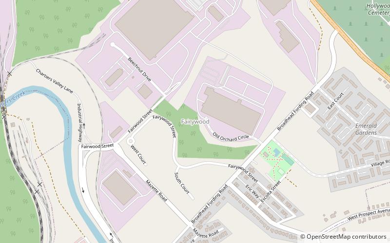
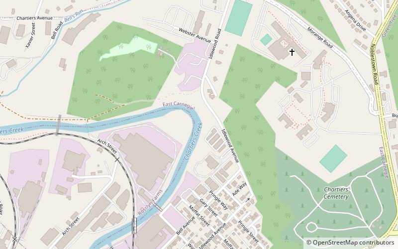
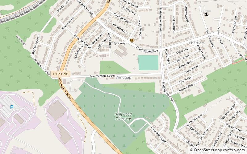
Fairywood, Pittsburgh
Map
Facts and practical information
Fairywood is a neighborhood on Pittsburgh, Pennsylvania's West End. It has a zip code of 15205, and has representation on Pittsburgh City Council by the council member for District 2. It is the westernmost neighborhood in the City of Pittsburgh. ()
Area: 0.97 mi²Coordinates: 40°27'1"N, 80°5'2"W
Address
West End (Fairywood)Pittsburgh
ContactAdd
Social media
Add
Getting there by public transportation
Public transportation stops near this location
- Bus
 Bus
Bus
- Calculate routeIngram 27 min walk
- Calculate routeCrafton 34 min walk
Day trips


Frequently Asked Questions (FAQ)
How to get to Fairywood by public transport?
The nearest stations to Fairywood:
Bus
Bus
- Ingram (27 min walk)
- Crafton (34 min walk)