Baisley Pond Park, New York City
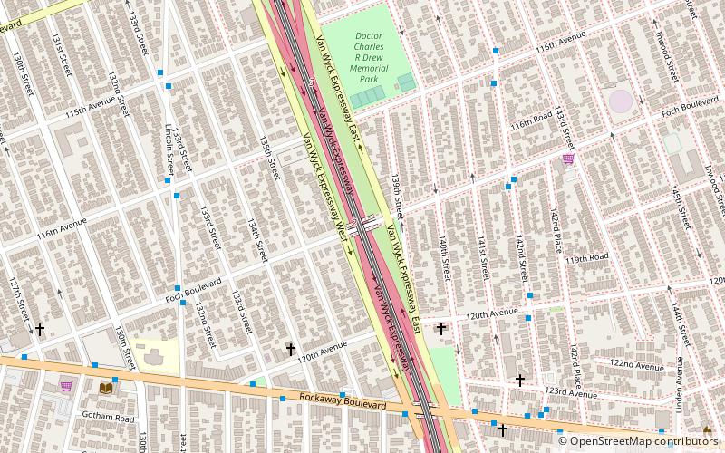
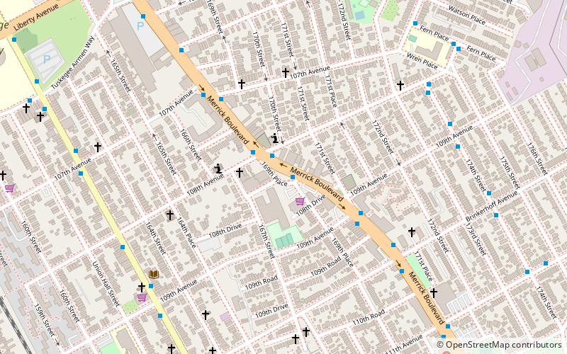
Map

Gallery

Facts and practical information
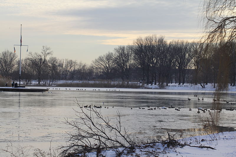
Baisley Pond Park is a public park located in the southeastern part of Queens, New York City, bordering the neighborhoods of South Jamaica, Rochdale, and St. Albans. It covers 109.61 acres, including the 30-acre Baisley Pond in the center of the park. It is maintained by the New York City Department of Parks and Recreation. ()
Created: 1919Elevation: 13 ft a.s.l.Coordinates: 40°40'28"N, 73°47'10"W
Day trips
Baisley Pond Park – popular in the area (distance from the attraction)
Nearby attractions include: Aqueduct Racetrack, Loew's Valencia Theatre, Roy Wilkins Park, Montauk Branch.
Frequently Asked Questions (FAQ)
How to get to Baisley Pond Park by public transport?
The nearest stations to Baisley Pond Park:
Bus
Train
Light rail
Bus
- Merrick Boulevard & Foch Boulevard • Lines: n4 (27 min walk)
- Farmers Boulevard & 145th Road • Lines: Q3 (30 min walk)
Train
- Locust Manor (29 min walk)
- St. Albans (41 min walk)
Light rail
- Federal Circle • Lines: Jfk (35 min walk)

 Subway
 Manhattan Buses


