Courtlandt Place, Houston
Map
Facts and practical information
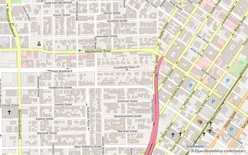
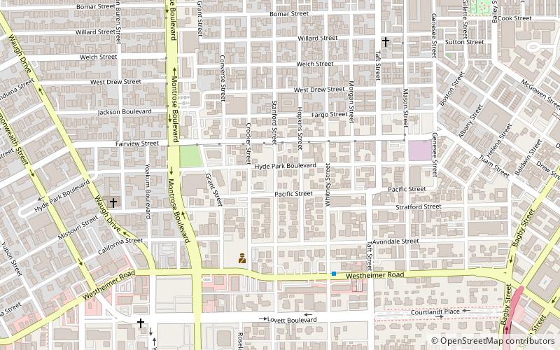
Courtlandt Place, Houston is a residential subdivision consisting of a single street, south of downtown Houston, planned in 1906. Courtlandt Place is a member of the Neartown Houston Association. ()
Coordinates: 29°44'35"N, 95°23'2"W
Address
Inner Loop (Neartown - Montrose)Houston
ContactAdd
Social media
Add
Getting there by public transportation
Public transportation stops near this location
- Bus
- Light rail
 Bus
Bus
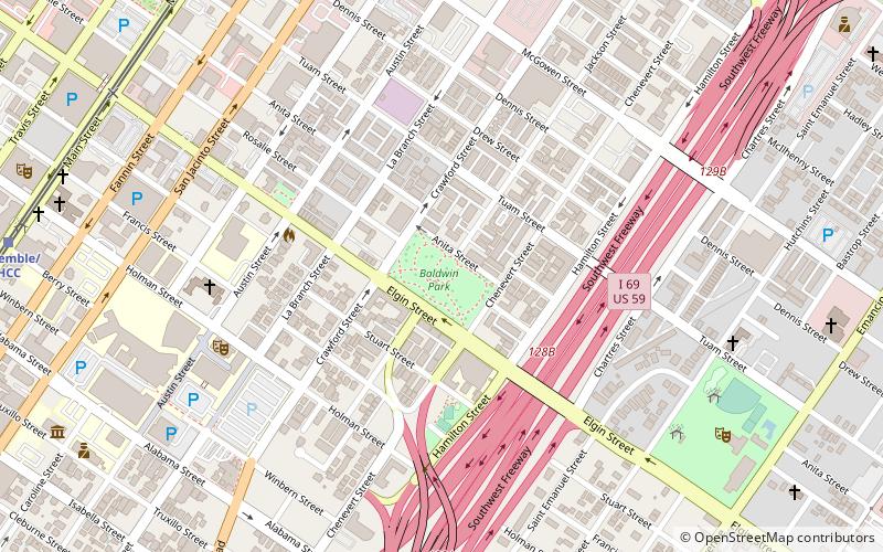
- Calculate routeEnsemble/HCC 11 min walk
- Calculate routeMcGowen 16 min walk
- Calculate routeWheeler 19 min walk
- Calculate routeDowntown Transit Center 25 min walk
- Calculate routeWheeler Station Transit Center 18 min walk
- Calculate routeFlixBus Houston 20 min walk
- Calculate routeGreyhound Bus Lines 22 min walk
- Calculate routeDowntown Transit Center 24 min walk
Day trips


Frequently Asked Questions (FAQ)
Which popular attractions are close to Courtlandt Place?
Nearby attractions include Trinity Episcopal Church, Houston (11 min walk), Annunciation Greek Orthodox Cathedral, Houston (13 min walk), Isabella Court, Houston (13 min walk), South Main Baptist Church, Houston (13 min walk).
How to get to Courtlandt Place by public transport?
The nearest stations to Courtlandt Place:
Light rail
Bus
Light rail
- Ensemble/HCC • Lines: Red (11 min walk)
- McGowen • Lines: Red (16 min walk)
Bus
- Wheeler Station Transit Center (18 min walk)
- FlixBus Houston • Lines: 2210, 2211, 2240, 2271 (20 min walk)