Lower Pacific Heights, San Francisco
Map
Map

Facts and practical information
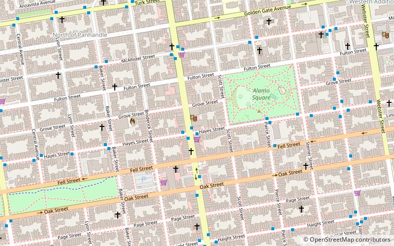
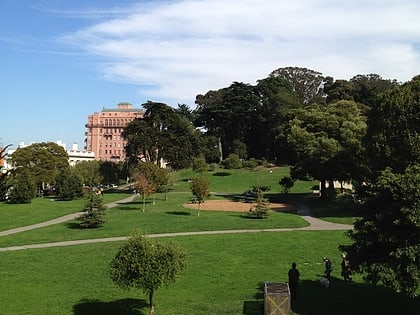
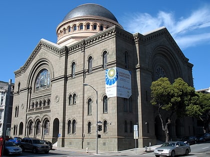
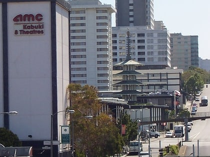
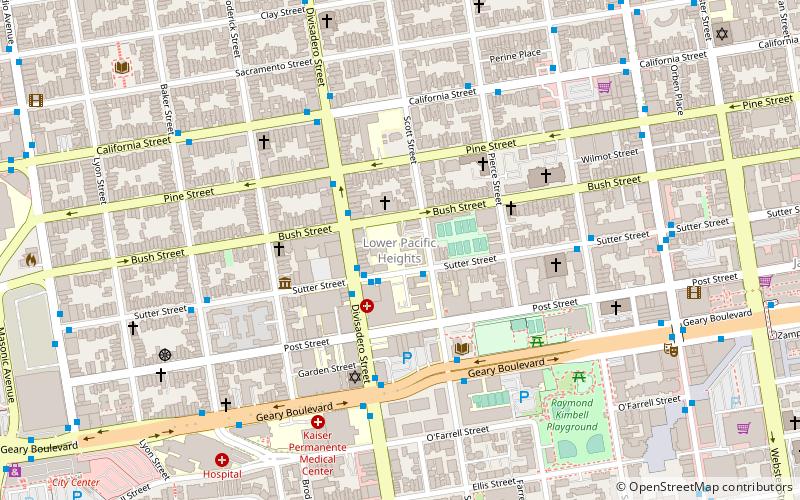
Lower Pacific Heights, also known as Upper Fillmore, is a neighborhood in San Francisco, California, between Pacific Heights, the Fillmore District, Laurel Heights, and Japantown. The neighborhood is centered on the commercial corridor of Fillmore Street between California and Post streets, with California Street to the north, Geary Boulevard to the south, Presidio Avenue to the west, and Van Ness Avenue to the east. ()
Coordinates: 37°47'9"N, 122°26'20"W
Address
Northwest San Francisco (Lower Pacific Heights)San Francisco
ContactAdd
Social media
Add
Day trips
Lower Pacific Heights – popular in the area (distance from the attraction)
Nearby attractions include: Painted Ladies, Cathedral of Saint Mary of the Assumption, The Fillmore, Alamo Square.
Frequently Asked Questions (FAQ)
Which popular attractions are close to Lower Pacific Heights?
Nearby attractions include St. Dominic's Catholic Church, San Francisco (4 min walk), Fillmore Street, San Francisco (8 min walk), The Fillmore, San Francisco (9 min walk), Anza Vista, San Francisco (11 min walk).
How to get to Lower Pacific Heights by public transport?
The nearest stations to Lower Pacific Heights:
Trolleybus
Bus
Tram
Light rail
Trolleybus
- Divisadero Street & Sutter Street • Lines: 24 (2 min walk)
Bus
- Geary Boulevard & Scott Street • Lines: 38 (5 min walk)
- Geary Boulevard & Divisadero Street • Lines: 38, 38R, 92 (5 min walk)
Tram
- California Street & Van Ness Avenue (26 min walk)
- California Street & Polk Street (27 min walk)
Light rail
- Sunset Tunnel East Portal • Lines: N (30 min walk)
- Duboce Avenue & Church Street • Lines: N (32 min walk)

 Muni Metro


