Fountain of Faith, Falls Church
Map
Facts and practical information
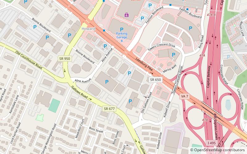
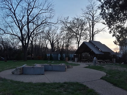
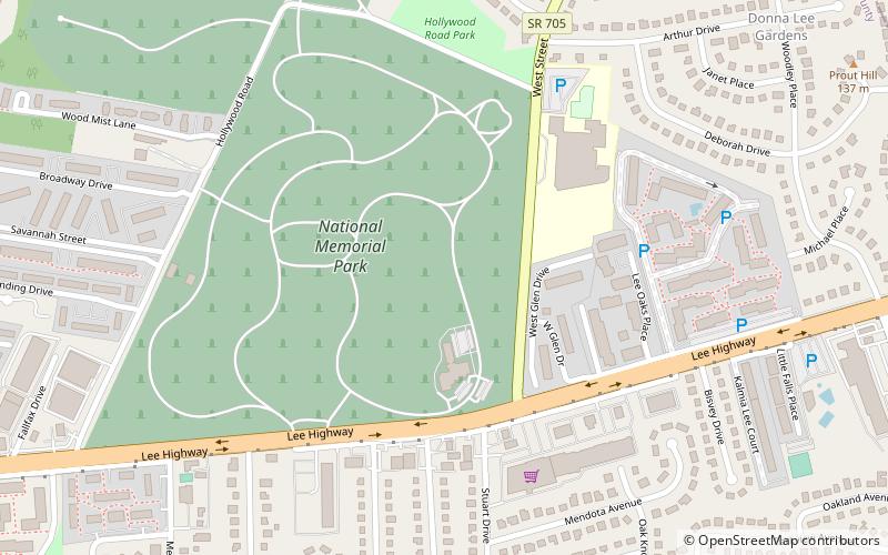
The Fountain of Faith is a monumental sculptural group by Carl Milles in Falls Church, Virginia. It is located in National Memorial Park, a large cemetery which also displays a colossal cast of Milles' Sunsinger. Each of the fountain's thirty-seven life-size bronze figures evokes a specific individual whom Milles had known before their death. ()
Coordinates: 38°52'41"N, 77°12'1"W
Address
IdylwoodFalls Church
ContactAdd
Social media
Add
Day trips
Fountain of Faith – popular in the area (distance from the attraction)
Nearby attractions include: Tysons Corner Center, Eden Center, Fairfax Square, Tinner Hill.


