Paerdegat Basin, New York City
Map

Map

Facts and practical information
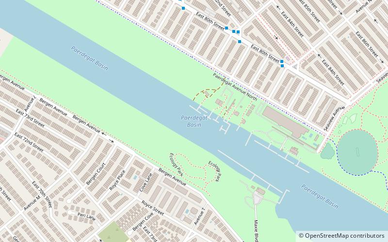
Paerdegat Basin is a channel that connects to Jamaica Bay between the neighborhoods of Bergen Beach and Canarsie in southeast Brooklyn, New York, United States. It connects to Jamaica Bay to the south, and the north end of the basin is adjacent to the intersection of Ralph Avenue and Flatlands Avenue. "Paerdegat" derives from the old Dutch paardengat, meaning "horse gate". ()
Coordinates: 40°37'36"N, 73°54'23"W
Address
Eastern Brooklyn (Canarsie)New York City
ContactAdd
Social media
Add
Day trips
Paerdegat Basin – popular in the area (distance from the attraction)
Nearby attractions include: Kings Plaza, Flatlands Dutch Reformed Church, Nostrand Playground, Kingsway Jewish Center.
Frequently Asked Questions (FAQ)
How to get to Paerdegat Basin by public transport?
The nearest stations to Paerdegat Basin:
Bus
Bus
- Flatlands Av / E 86 Street • Lines: B6, B82 (21 min walk)

 Subway
 Manhattan Buses


