Walden Street Cattle Pass, Arlington
Map

Gallery
Facts and practical information
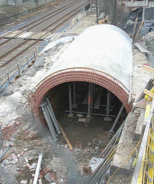
The Walden Street Cattle Pass, also referred to as the cow path, is an historic site adjacent to the MBTA Commuter Rail Fitchburg Line right-of-way, under the Walden Street Bridge in Cambridge, Massachusetts. It was added to the National Register of Historic Places in 1994. ()
Coordinates: 42°23'28"N, 71°7'21"W
Address
Cambridge (Porter Square)Arlington
ContactAdd
Social media
Add
Day trips
Walden Street Cattle Pass – popular in the area (distance from the attraction)
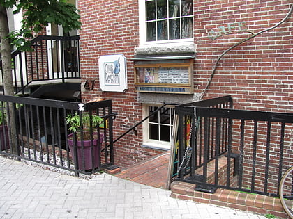
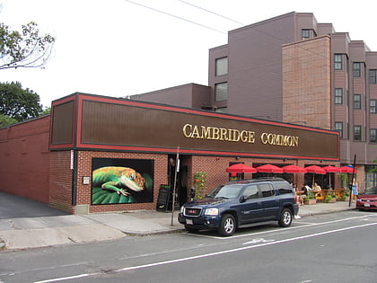
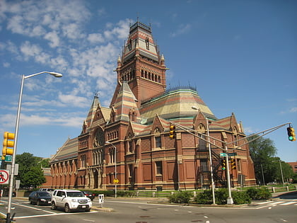
Nearby attractions include: Club Passim, Lizard Lounge, Memorial Hall, The Highland.
Frequently Asked Questions (FAQ)
Which popular attractions are close to Walden Street Cattle Pass?
Nearby attractions include St. James Episcopal Church, Boston (3 min walk), Frederick Billings House, Arlington (3 min walk), Chester Kingsley House, Arlington (5 min walk), Isaac McLean House, Arlington (7 min walk).
How to get to Walden Street Cattle Pass by public transport?
The nearest stations to Walden Street Cattle Pass:
Metro
Train
Bus
Metro
- Porter • Lines: Red (7 min walk)
- Davis • Lines: Red (10 min walk)
Train
- Porter (8 min walk)
Bus
- Alewife (27 min walk)
- Springfield St @ Newton St • Lines: 91 (40 min walk)

