Trek Zone

Santa Anita Dam, San Gabriel Mountains National Monument

#28 among attractions in San Gabriel Mountains National Monument

Arch
Santa Anita Dam

Facts and practical information
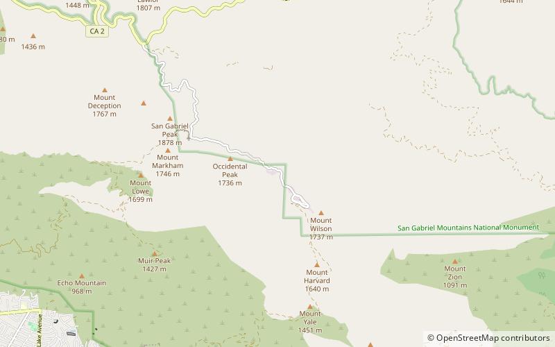
Opened: 1927 (97 years ago)Length: 612 ftHeight: 225 ftReservoir area: 17 acres (0.0266 mi²)Coordinates: 34°18'37"N, 118°1'59"W
Address

San Gabriel Mountains National Monument United States

ContactAdd
Social media
Add

San Gabriel Mountains National Monument plan & book

Unleash the traveler in you — discover the cheapest flight deals, find the perfect hotel or hostel nearby, and search for the best car rental prices. Travel at your own pace to discover new places and enjoy your journey.

Day trips

Santa Anita Dam – popular in the area (distance from the attraction)

Nearby attractions include: Silver Moccasin Trail, Vetter Mountain, Strawberry Peak, San Gabriel Peak.

  • silver moccasin trail san gabriel mountains national monument1.3 miE
  • vetter mountain san gabriel mountains national monument0.9 miS
  • strawberry peak san gabriel mountains national monument5.3 miW
  • san gabriel peak angeles national forest6 miSW
  • mount lowe angeles national forest6.9 miSW
  • cogswell dam san gabriel mountains national monument6 miSE
  • gabrielino trail san gabriel mountains national monument3.3 miS
  • stony ridge observatory san gabriel mountains national monument2.1 miE
  • kcbs tv fm tower angeles national forest location map
    5.8 miS
  • mount disappointment angeles national forest6 miSW
  • waterman mountain san gabriel mountains national monument location map
    5.8 miE

Where to next? Visit california California region page or discover the top tourist attractions in United States.