Brownsville Gateway Port of Entry, Brownsville

Gallery (1)
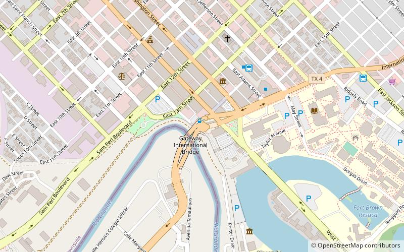
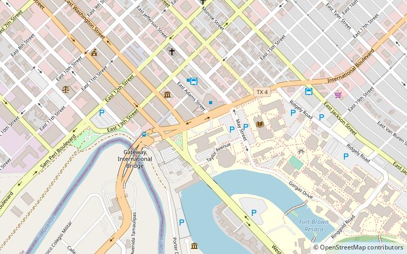
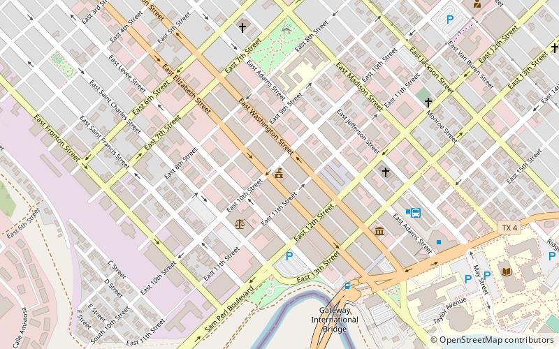
Map
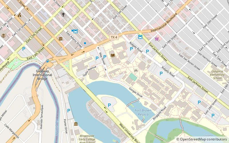
Map
Facts and practical information
The Brownsville Gateway Port of Entry opened in 1926 with the completion of the Gateway International Bridge. The original bridge was a steel arch design, and arches, which have long been used to signify international gateways, were incorporated into the design of the Matamoros Gateway border station in the 1950s. Unfortunately, the steel arch bridge was not well maintained, and it was replaced with two flat deck spans in the late 1970s. All truck traffic has been prohibited since 1999. ()
Opened: 1926 (100 years ago)Coordinates: 25°53'57"N, 97°29'49"W
Getting there by public transportation
Public transportation stops near this location
- Bus
 Bus
Bus
- Calculate routeBrownsville Bus Terminal 6 min walk
- Calculate routeAutobuses Adame Tours 12 min walk
Day trips


Frequently Asked Questions (FAQ)
Which popular attractions are close to Brownsville Gateway Port of Entry?
Nearby attractions include Gateway International Bridge, Brownsville (2 min walk), Fort Brown, Brownsville (4 min walk), Immaculate Conception Cathedral, Brownsville (7 min walk), United States Court House, Brownsville (7 min walk).
How to get to Brownsville Gateway Port of Entry by public transport?
The nearest stations to Brownsville Gateway Port of Entry:
Bus
Bus
- Brownsville Bus Terminal (6 min walk)
- Autobuses Adame Tours (12 min walk)