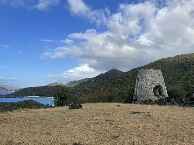
Estate Carolina Sugar Plantation, Virgin Islands National Park

Gallery (1)
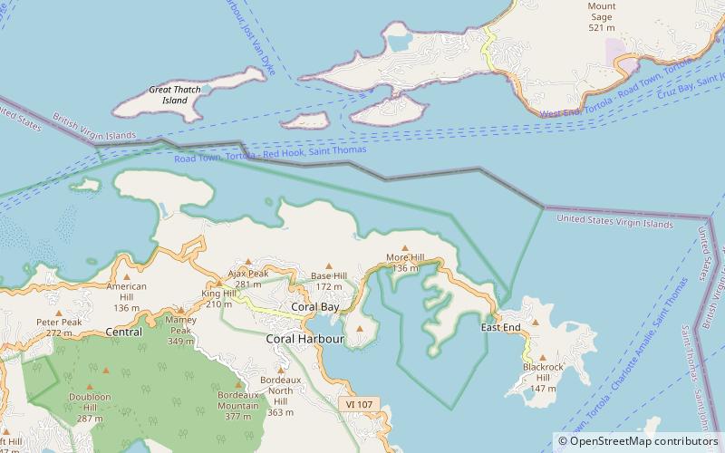
Map
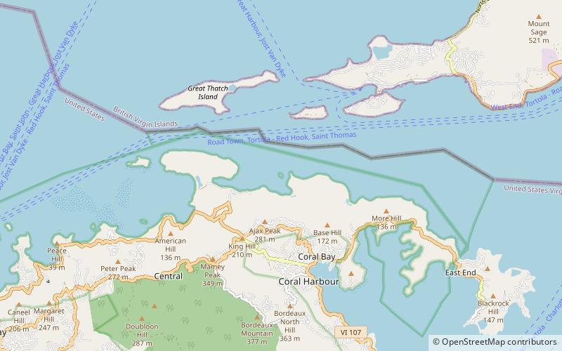
Map
Facts and practical information
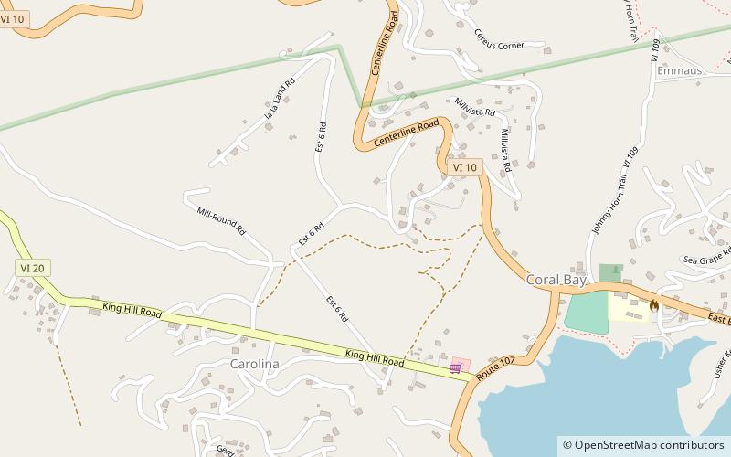
The Estate Carolina Sugar Plantation near Coral Bay on Saint John, U.S. Virgin Islands is a historic sugar plantation and later rum distillery. ()
Coordinates: 18°20'58"N, 64°43'7"W
Address
Virgin Islands National Park
ContactAdd
Social media
Add
Day trips