Blaxlands Corner, Upper North Shore
Map
Facts and practical information
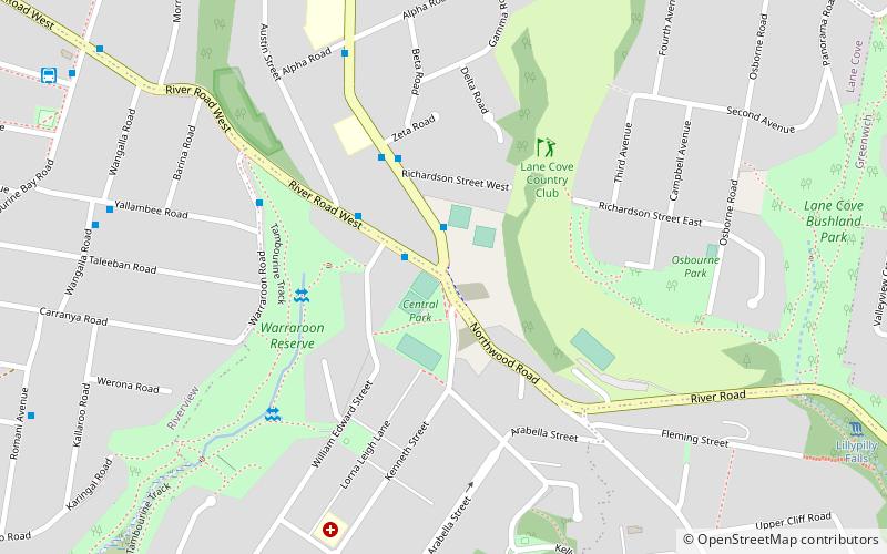
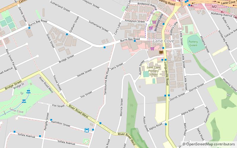
Blaxlands Corner is a locality on the North Shore of Sydney in the state of New South Wales, Australia. Blaxlands Corner is at the intersection of Longueville Road, Northwood Road, and River Road West, in the southern part of Lane Cove adjacent to Longueville. It contains the Longueville Sporting Club, a BP service station, a bottle shop, a travel and cruise agency. Longueville Motor Bus Company built a depot at 16 Northwood Road in 1939 that was closed by successor Deanes Coaches in the mid-1970s. ()
Coordinates: 33°49'24"S, 151°10'19"E
Address
Lane Cove (Longueville)Upper North Shore
ContactAdd
Social media
Add
Day trips


Frequently Asked Questions (FAQ)
Which popular attractions are close to Blaxlands Corner?
Nearby attractions include Lane Cove Bushland Park, Sydney (12 min walk), Gore Creek, Sydney (15 min walk), Gore Hill, Sydney (24 min walk).