Georges River National Park, Sydney

Facts and practical information
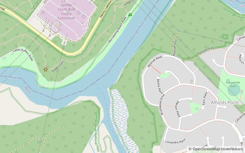
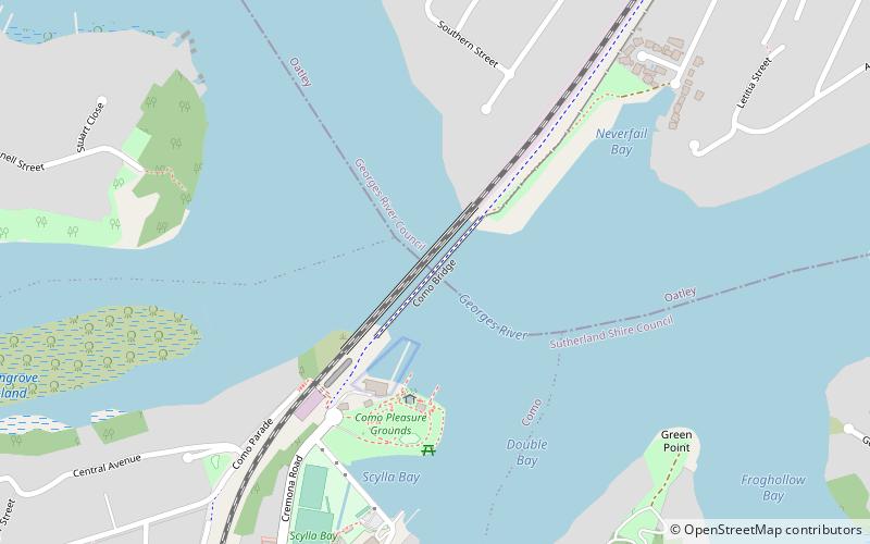
Georges River National Park is a protected Australian National Park, under the management of the NSW National Parks and Wildlife Service. The park falls in the regions of the Sutherland Shire Council and Canterbury-Bankstown Council. Located in the city of Sydney, 25 km south-west of the CBD, surrounded by neighbouring suburbs of Lugano, Illawong, Alfords Point, Padstow Heights, Revesby Heights, Picnic Point and Sandy Point. The primary use of the park is to service for recreational activities such as; bush walking, picnics, barbeques, boating, fishing, and water/jet skiing. The park is Segmented into 15 sectors along the riverbanks of the Georges River, encompassing 514 hectares, housing many native aquatic and terrestrial Australian flora and fauna. The traditional custodians are the Dharug people located on the north side of the river, and Dharawal people located on the south of the river. ()
- Bus
 Bus
Bus
- Calculate routeAlford Point Road On Ramp 26 min walk
- Calculate routePadstow Heights Public School 36 min walk
- Calculate routeClancy Street 39 min walk
- Calculate routeEverside Retirement Village 40 min walk
 Sydney TrainsMaps
 Sydney Light RailMaps
 Sydney Ferries


Frequently Asked Questions (FAQ)
How to get to Georges River National Park by public transport?
Bus
- Alford Point Road On Ramp • Lines: M92 (26 min walk)
- Padstow Heights Public School • Lines: M91 (36 min walk)