Snapper Island, Sydney
Map

Gallery

Facts and practical information
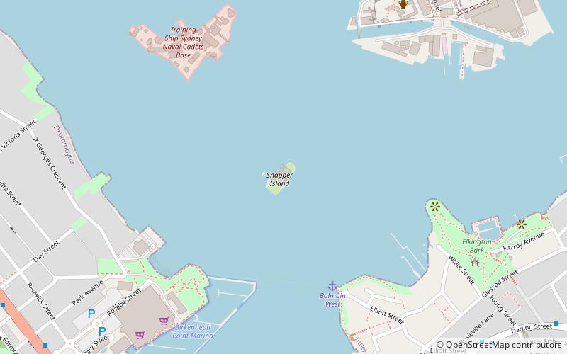
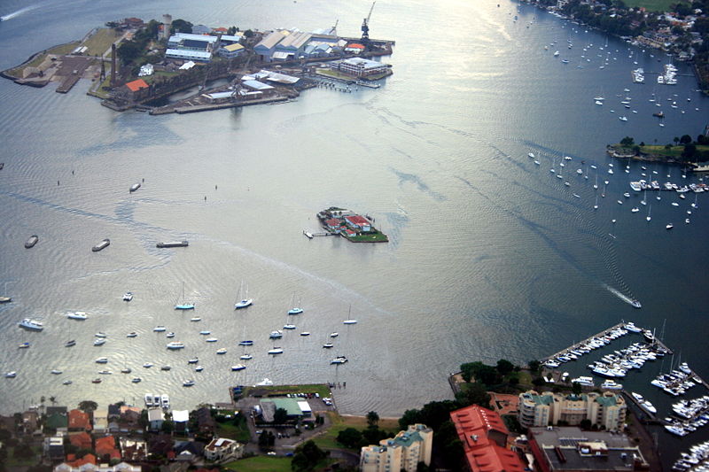
Snapper Island is a 1.65 hectare island in Sydney Harbour, Australia. It lies in the main channel of the western section of the harbour, upstream of the Sydney Harbour Bridge, adjacent to the Sydney suburb of Drummoyne. ()
Address
Sydney
ContactAdd
Social media
Add
Day trips
Snapper Island – popular in the area (distance from the attraction)
Nearby attractions include: Birkenhead Point Outlet Centre, Anzac Bridge, Kellys Bush Park, Callan Park.
Frequently Asked Questions (FAQ)
Which popular attractions are close to Snapper Island?
Nearby attractions include Cockatoo Island Industrial Conservation Area, Sydney (11 min walk), Biloela House, Sydney (12 min walk), Cockatoo Island, Sydney (12 min walk), Drummoyne, Sydney (18 min walk).
How to get to Snapper Island by public transport?
The nearest stations to Snapper Island:
Bus
Ferry
Bus
- Darling St after Elliott St • Lines: 433 (12 min walk)
- Birkenhead Point • Lines: M52 (14 min walk)
Ferry
- Cockatoo Island (16 min walk)
- Drummoyne Ferry Wharf • Lines: F3 (19 min walk)

 Sydney Trains
 Sydney Light Rail
 Sydney Ferries


