Payneham Cemetery, Adelaide
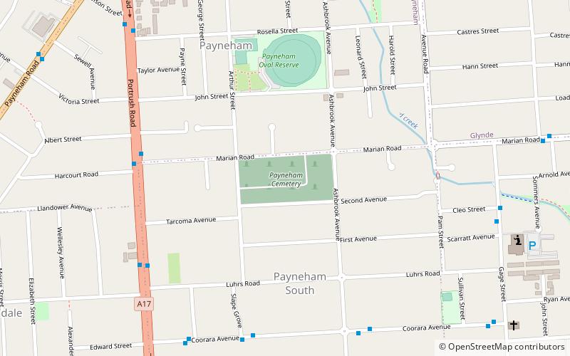
Map
Facts and practical information
Payneham Cemetery, located on Marian Road, Payneham South, South Australia was established by the Argent Street Primitive Methodist church with the first burial occurring in 1864. ()
Established: 1864 (162 years ago)Coordinates: 34°54'8"S, 138°38'38"E
Address
Payneham SouthAdelaide
ContactAdd
Social media
Add
Day trips
Payneham Cemetery – popular in the area (distance from the attraction)
Nearby attractions include: Adelaide Zoo, Adelaide Botanic Garden, National Wine Centre of Australia, Norwood Place.
Frequently Asked Questions (FAQ)
How to get to Payneham Cemetery by public transport?
The nearest stations to Payneham Cemetery:
Bus
Bus
- Klemzig (29 min walk)

