Redfern Oval, Sydney
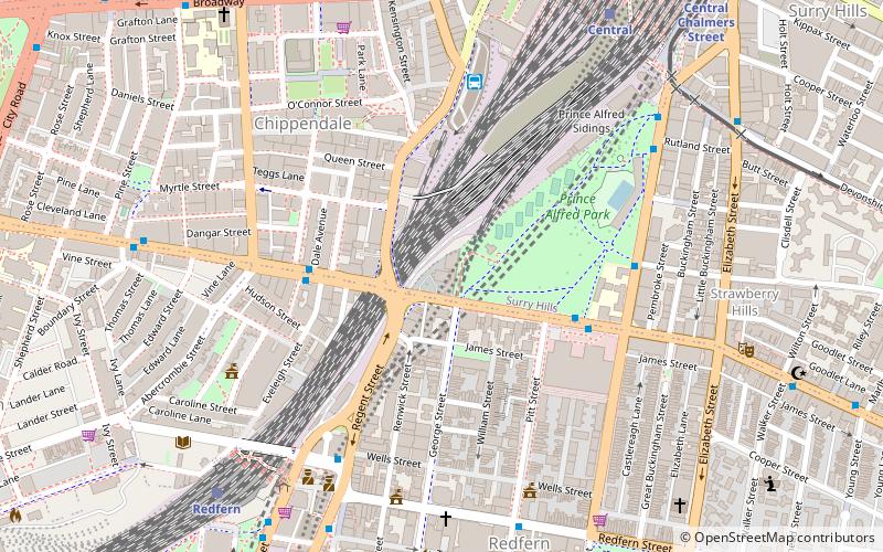
Map
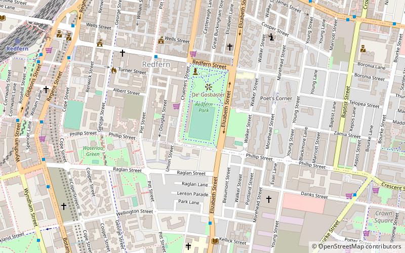
Map

Facts and practical information
Redfern Oval is an Australian football ground, in the Sydney suburb of Redfern, New South Wales, Australia. The South Sydney Rabbitohs Rugby League Football Club played at Redfern Oval between 1948 and 1987. Rabbitoh supporters often refer to Redfern Oval as "The Holy Land". ()
Opened: 1885 (141 years ago)Capacity: 5000Coordinates: 33°53'43"S, 151°12'22"E
Day trips
Redfern Oval – popular in the area (distance from the attraction)
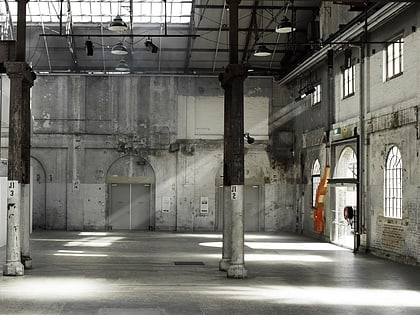
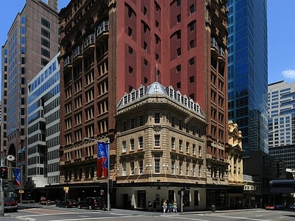
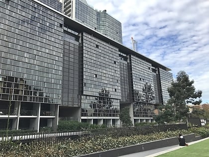
Nearby attractions include: Carriageworks, Castlereagh Street, Central Park, Redfern Park.
Frequently Asked Questions (FAQ)
Which popular attractions are close to Redfern Oval?
Nearby attractions include Redfern Park, Sydney (2 min walk), Redfern Town Hall, Sydney (6 min walk), Waterloo Town Hall, Sydney (9 min walk), Strawberry Hills, Sydney (12 min walk).
How to get to Redfern Oval by public transport?
The nearest stations to Redfern Oval:
Bus
Train
Light rail
Bus
- Bourke Street Nr Phillip Street, Waterloo • Lines: 301 (11 min walk)
- Surry Hills, Cleveland Street nr Crown Street • Lines: 301 (12 min walk)
Train
- Redfern (13 min walk)
- Central (20 min walk)
Light rail
- Surry Hills • Lines: L2, L3 (16 min walk)
- Central Chalmers Street • Lines: L2, L3 (20 min walk)

 Sydney Trains
 Sydney Light Rail
 Sydney Ferries