Westfield Airport West, Melbourne
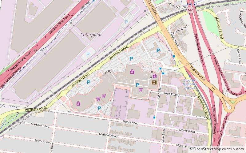
Map
Map

Facts and practical information
Airport West is a suburb 12 km north-west of Melbourne, Australia. Its local government area is the City of Moonee Valley. At the 2016 census, Airport West had a population of 7,564. ()
Area: 1.43 mi²Coordinates: 37°42'50"S, 144°53'10"E
Day trips
Westfield Airport West – popular in the area (distance from the attraction)
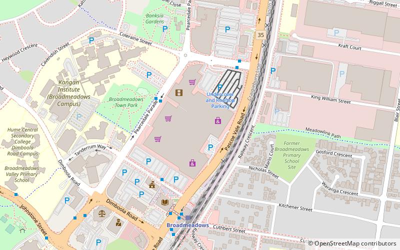
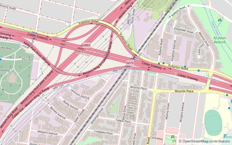
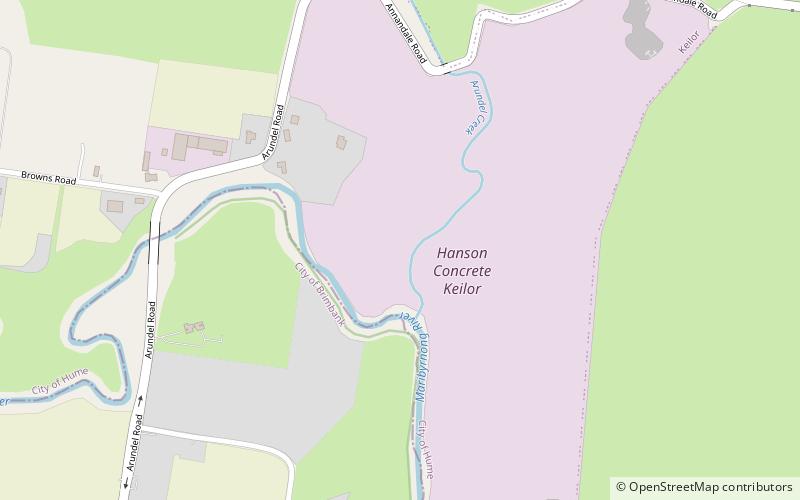
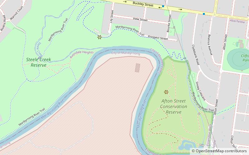
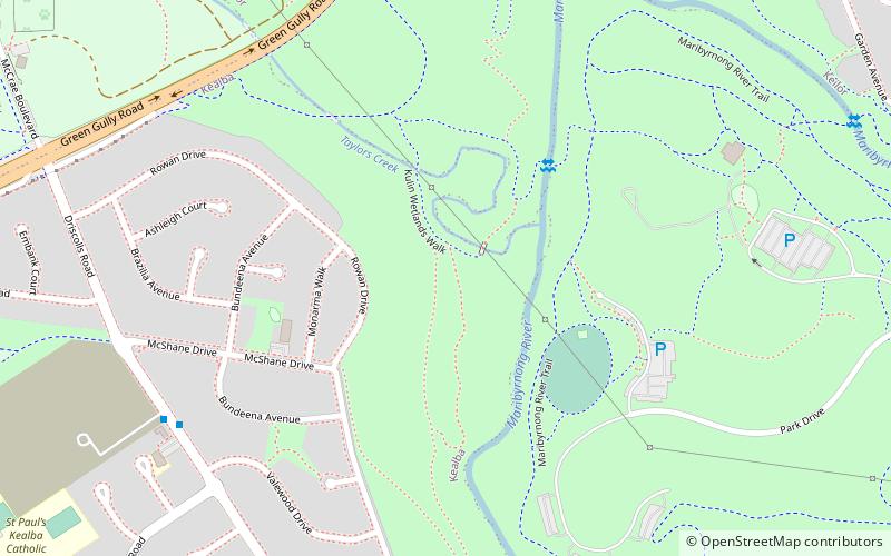
Nearby attractions include: Broadmeadows Central, Albion Viaduct, Steele Creek Trail, Maribyrnong River Trail.
Frequently Asked Questions (FAQ)
When is Westfield Airport West open?
Westfield Airport West is open:
- Monday 9 am - 5:30 pm
- Tuesday 9 am - 5:30 pm
- Wednesday 9 am - 5:30 pm
- Thursday 9 am - 9 pm
- Friday 9 am - 9 pm
- Saturday 9 am - 5 pm
- Sunday 10 am - 5 pm
How to get to Westfield Airport West by public transport?
The nearest stations to Westfield Airport West:
Bus
Tram
Bus
- Airport West Shopping Centre • Lines: 469, 477, 478, 479, 482, 490, 902 (4 min walk)
- Moore Road/Louis Street • Lines: 477 (6 min walk)
Tram
- Stop 59: Matthews Avenue • Lines: 59, 59d (7 min walk)
- Stop 58: Marshall Road • Lines: 59, 59d (12 min walk)

 Melbourne Trams
 Victoria Trains