Donau City, Vienna
Map
Gallery
Facts and practical information
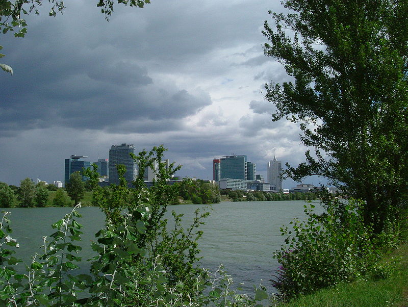
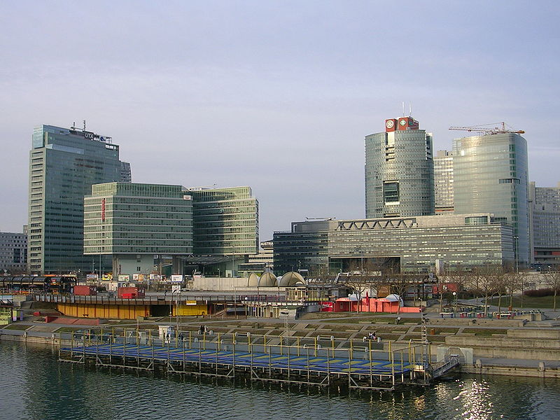
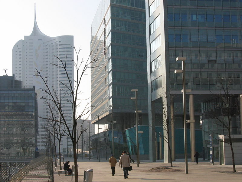
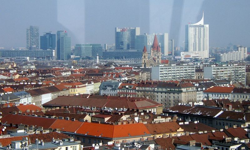
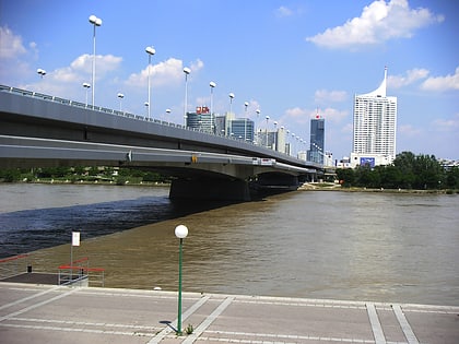
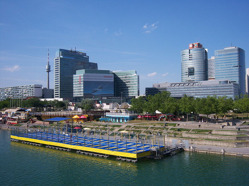
Donau City, or Vienna DC, is a new part of Vienna's 22nd District Donaustadt, next to both the Reichsbrücke and the left bank of the Danube's 21.1 km new channel, Neue Donau. ()
Day trips
Donau City – popular in the area (distance from the attraction)
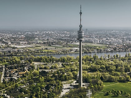
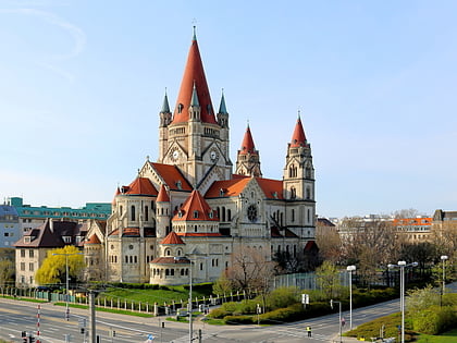
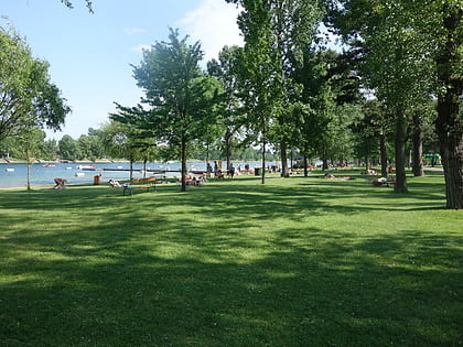
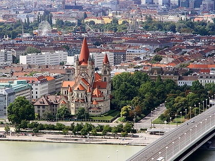
Nearby attractions include: Donauturm, St. Francis of Assisi Church, Strandbad Gänsehäufel, Praterstern.
Frequently Asked Questions (FAQ)
Which popular attractions are close to Donau City?
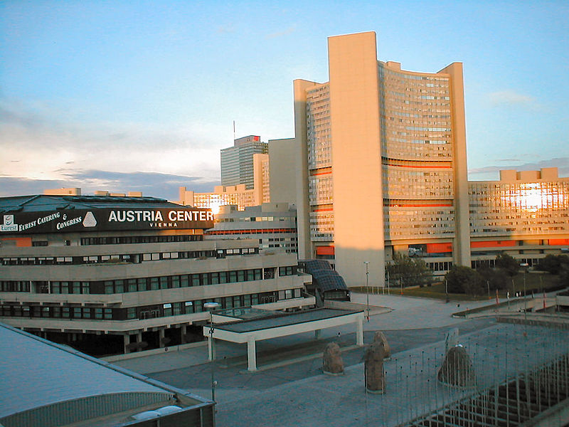
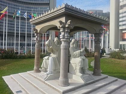
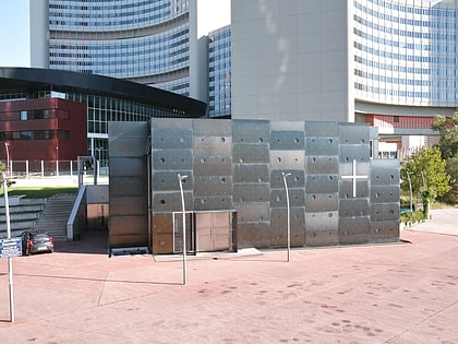
Nearby attractions include United Nations Office at Vienna, Vienna (2 min walk), Donau City Church, Vienna (3 min walk), UNO-City, Vienna (3 min walk), Scholars Pavilion, Vienna (4 min walk).
How to get to Donau City by public transport?
The nearest stations to Donau City:
Metro
Bus
Train
Tram
Metro
- Kaisermühlen VIC • Lines: U1 (4 min walk)
- Donauinsel • Lines: U1 (11 min walk)
Bus
- Kaisermühlen-VIC • Lines: 20A, 92A, 92B, Bäderbus Gänsehäufel, N25, N90, Val3 (4 min walk)
- Julius-Payer-Gasse • Lines: 20A, N25, Val3 (7 min walk)
Train
- Rosenschau (8 min walk)
- Donau City (9 min walk)
Tram
- Kagraner Brücke • Lines: 25 (21 min walk)
- Siebeckstraße • Lines: 25 (26 min walk)


