Salt Island
Map
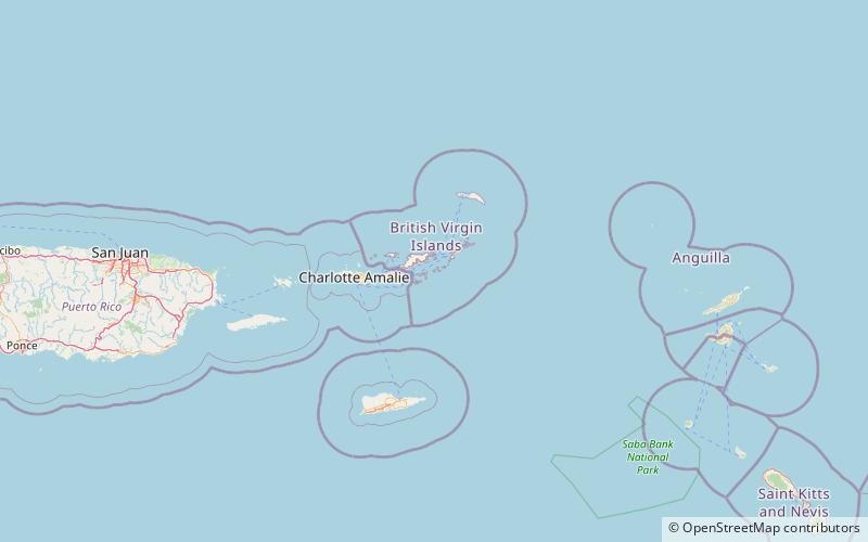
Map

Facts and practical information
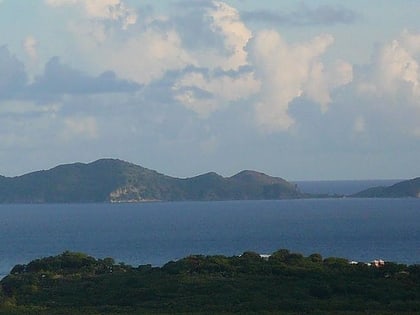
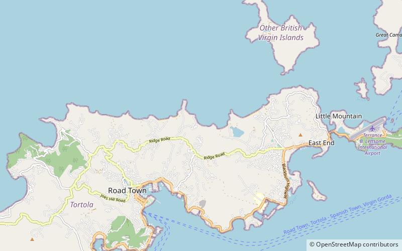
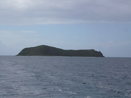
Salt Island is one of the islands of the archipelago of the British Virgin Islands located about 4.7 miles south east of Road Town, the main town on Tortola. It is named after its salt ponds, which were once an important resource. ()
Alternative names: Area: 190.27 acres (0.2973 mi²)Archipelago: Virgin IslandsCoordinates: 18°22'12"N, 64°31'39"W
Location
Other Islands
ContactAdd
Social media
Add
Day trips
Salt Island – popular in the area (distance from the attraction)
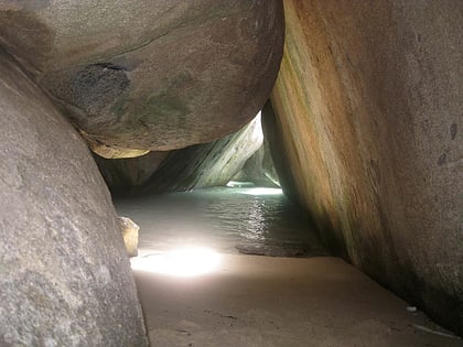
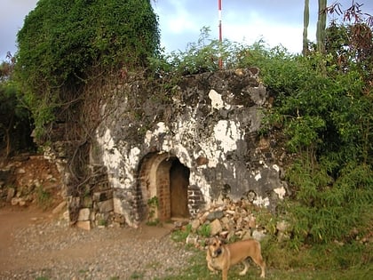
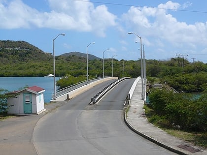
Nearby attractions include: The Baths, Fort George, Queen Elizabeth II Bridge, Cooten Bay ruin.
