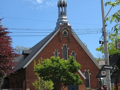
Sorauren Avenue Park, Toronto
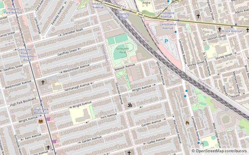
Map
Gallery

Facts and practical information
Sorauren Avenue Park is a park in the Roncesvalles neighbourhood of Toronto, Ontario, Canada. A reclaimed brown field site, it was created after the local community objected to City of Toronto government plans to convert a former bus garage into a facility for storing City vehicles. The park opened in 1995 and now hosts several sporting fields, a farmer's market and a fieldhouse for community gatherings. ()
Created: 1995Elevation: 331 ft a.s.l.Coordinates: 43°38'50"N, 79°26'36"W
Day trips
Sorauren Avenue Park – popular in the area (distance from the attraction)
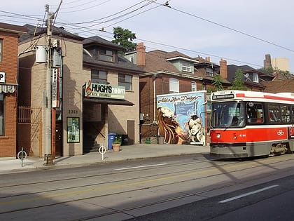
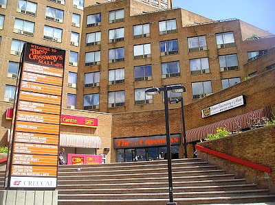
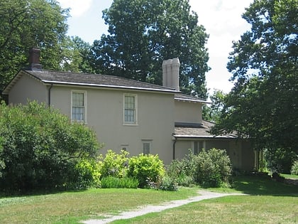
Nearby attractions include: Dufferin Mall, Hugh's Room, The Crossways, Colborne Lodge.
Frequently Asked Questions (FAQ)
Which popular attractions are close to Sorauren Avenue Park?
Nearby attractions include St. Vincent de Paul Roman Catholic Church, Toronto (8 min walk), Brockton Village, Toronto (8 min walk), Roncesvalles, Toronto (8 min walk), Olga Korper Gallery, Toronto (11 min walk).
How to get to Sorauren Avenue Park by public transport?
The nearest stations to Sorauren Avenue Park:
Bus
Tram
Metro
Train
Bus
- Rideau Avenue • Lines: 402, 47A (6 min walk)
- Dundas Street West South Side • Lines: 402 (7 min walk)
Tram
- Sterling Road • Lines: 306, 505, 506 (6 min walk)
- Lansdowne Avenue • Lines: 306, 505, 506 (8 min walk)
Metro
- Lansdowne • Lines: 2 (21 min walk)
- Dundas West • Lines: 2 (22 min walk)
Train
- Bloor (21 min walk)

 Subway
 Streetcar system
 PATH
PATH
