Sunnyside, Toronto

Gallery (4)
Map

Map
Gallery
Facts and practical information
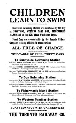
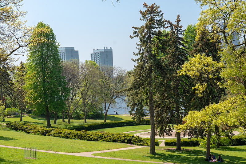
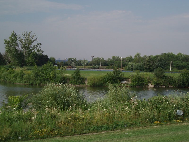
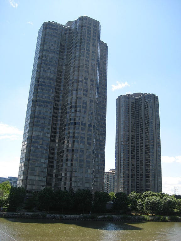
Sunnyside is a lakefront district in Toronto, Ontario, Canada. It includes a beach and park area along Lake Ontario's Humber Bay, from west of Exhibition Place to the mouth of the Humber River. The area has several recreation uses, including rowing clubs, sports clubs, picnic areas, playgrounds, a nightclub, a bathing pavilion and public pool. The area is a 3 kilometres long strip along the lakeshore, bounded by the Gardiner Expressway and rail lines, which separate it from the Parkdale, Roncesvalles and Swansea neighbourhoods to the north. The name originates in a local farm owned by John Howard, which was situated just to the north, on the location of the current St. Joseph's Health Centre hospital. ()
Coordinates: 43°38'16"N, 79°27'22"W
Address
West End (High Park)Toronto
ContactAdd
Social media
Add
Getting there by public transportation
Public transportation stops near this location
- Metro
- Bus
- Tram
 Metro
Metro
- Calculate routeParkside Drive 5 min walk
- Calculate routeColborne Lodge Drive 6 min walk
- Calculate routeMarion Street 14 min walk
- Calculate routeEllis Avenue 14 min walk
- Calculate route30 The Queensway 8 min walk
- Calculate routeEllis Avenue 14 min walk
- Calculate routeRoncesvalles Avenue 14 min walk
- Calculate routeTriller Avenue 17 min walk
- Calculate routeHigh Park 32 min walk
- Calculate routeRunnymede 36 min walk
Maps SubwayMaps
 Streetcar systemMaps
 PATH
PATH
SubwayMapsStreetcar systemMapsPATHDay trips


Frequently Asked Questions (FAQ)
Which popular attractions are close to Sunnyside?
Nearby attractions include Sunnyside Bathing Pavilion, Toronto (2 min walk), Colborne Lodge, Toronto (7 min walk), Roncesvalles, Toronto (18 min walk), High Park, Toronto (19 min walk).
How to get to Sunnyside by public transport?
The nearest stations to Sunnyside:
Tram
Bus
Metro
Tram
- Parkside Drive • Lines: 501, 501;301 (5 min walk)
- Colborne Lodge Drive • Lines: 501, 501;301 (6 min walk)
Bus
- 30 The Queensway • Lines: 402 (8 min walk)
- Ellis Avenue • Lines: 80A (14 min walk)
Metro
- High Park • Lines: 2 (32 min walk)
- Runnymede • Lines: 2 (36 min walk)