The Crossways, Toronto

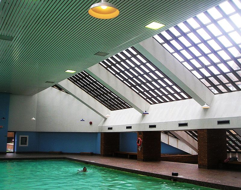
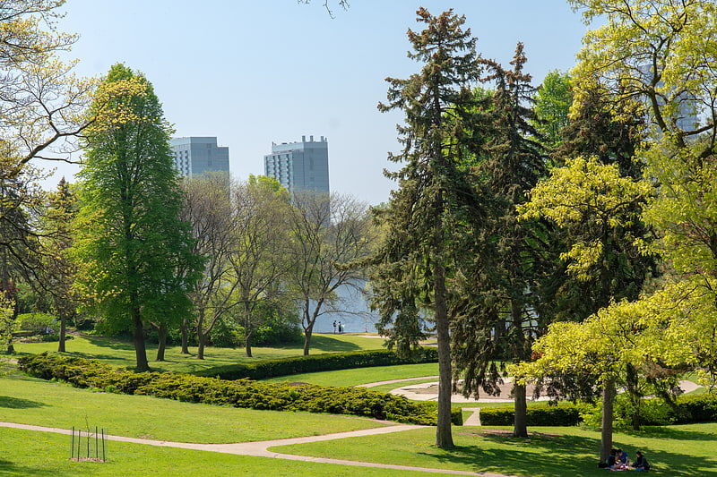
Gallery (2)
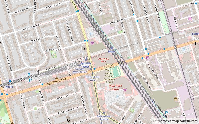
Map
Map
Gallery
Facts and practical information
The Crossways is a mixed-use residential/commercial complex in the west end of Toronto, Ontario, Canada, located at the intersection of Bloor Street West and Dundas Street West. It stretches across most of a city block. ()
Coordinates: 43°39'25"N, 79°27'6"W
Address
West End (High Park North)Toronto
ContactAdd
Social media
Add
Getting there by public transportation
Public transportation stops near this location
- Metro
- Bus
- Tram
- Train
 Metro
Metro
- Calculate routeDundas West 2 min walk
- Calculate routeKeele 11 min walk
- Calculate routeLansdowne 13 min walk
- Calculate routeHigh Park 20 min walk
- Calculate routeBloor Street West 2 min walk
- Calculate routeStop 2 min walk
- Calculate routeDundas West Station 3 min walk
- Calculate routeRoncesvalles Avenue 6 min walk
- Calculate routeBloor 3 min walk
- Calculate routeBloor Street West 6 min walk
- Calculate routeSymington Avenue 6 min walk
- Calculate routePaton Road 7 min walk
- Calculate routeErnest Avenue 7 min walk
Maps SubwayMaps
 Streetcar systemMaps
 PATH
PATH
SubwayMapsStreetcar systemMapsPATHDay trips


Frequently Asked Questions (FAQ)
Which popular attractions are close to The Crossways?
Nearby attractions include West Toronto Railpath, Toronto (5 min walk), Jami Mosque, Toronto (8 min walk), Junction Triangle, Toronto (8 min walk), Art Metropole, Toronto (10 min walk).
How to get to The Crossways by public transport?
The nearest stations to The Crossways:
Metro
Tram
Train
Bus
Metro
- Dundas West • Lines: 2 (2 min walk)
- Keele • Lines: 2 (11 min walk)
Tram
- Bloor Street West • Lines: 306, 504A, 505 (2 min walk)
- Stop • Lines: 306 (2 min walk)
Train
- Bloor (3 min walk)
Bus
- Bloor Street West • Lines: 402 (6 min walk)
- Symington Avenue • Lines: 402 (6 min walk)